Bavella Needles: planning your visit
Bavella Needles at a glance
- Admission
- Free
- Where
- Zonza
Facts checked on 29 October 2026. Full opening hours, reduced prices and access

In southern Corsica, between Zonza and Solenzara, a mountain road climbs to the Col de Bavella, at 1218 m, below a row of red granite peaks: the Bavella Needles (Aiguilles de Bavella). Access is free and open to all. Here is how to get there, which walks to choose, where to swim and what to watch out for on the road and in the mountains.
Bavella Needles at a glance
- Where: in Corse-du-Sud, in the commune of Zonza, at the Col de Bavella, on the D268 road linking the Alta Rocca to the east coast, towards Solenzara.
- Price: free. The pass, the viewpoints and the trails are open to all.
- Open: a natural site, always open. The road can be difficult in winter, with snow or ice.
- Altitude: the pass is at 1218 m. The highest of the needles, Punta Alta, rises to 1855 m.
- Time needed: an hour or two for the pass and viewpoints, half a day with a hike, a full day with a river swim.
- Getting there: in practice by car only, from Zonza or Solenzara. Slow, winding roads.
- Best for: everyone for the pass and short walks. The longer hikes need experience and good gear.
What are the Bavella Needles?
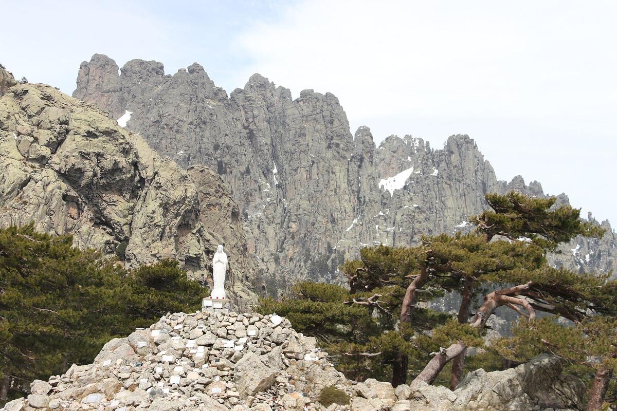
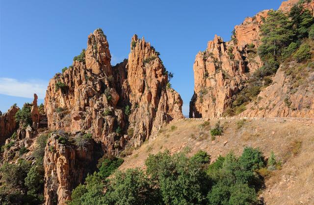
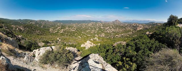
The Bavella Needles are red granite peaks standing in a row above a pine forest. Seen from the pass, they form a jagged wall that changes colour through the day, from pinkish grey in the morning to bright red in the late afternoon.
The Col de Bavella, at 1218 m, links the Alta Rocca, the mountain area around Zonza and Quenza, with the island's east coast. It lies within the Corsica Regional Nature Park. Around the pass, the pines have been twisted by the wind: their leaning trunks and gnarled branches are part of the scenery.
Several summits follow one another. Punta Alta, the highest, reaches 1855 m. Further north stands Monte Incudine, at 2134 m, one of the great peaks of southern Corsica, which the GR20 crosses before dropping down to Bavella.
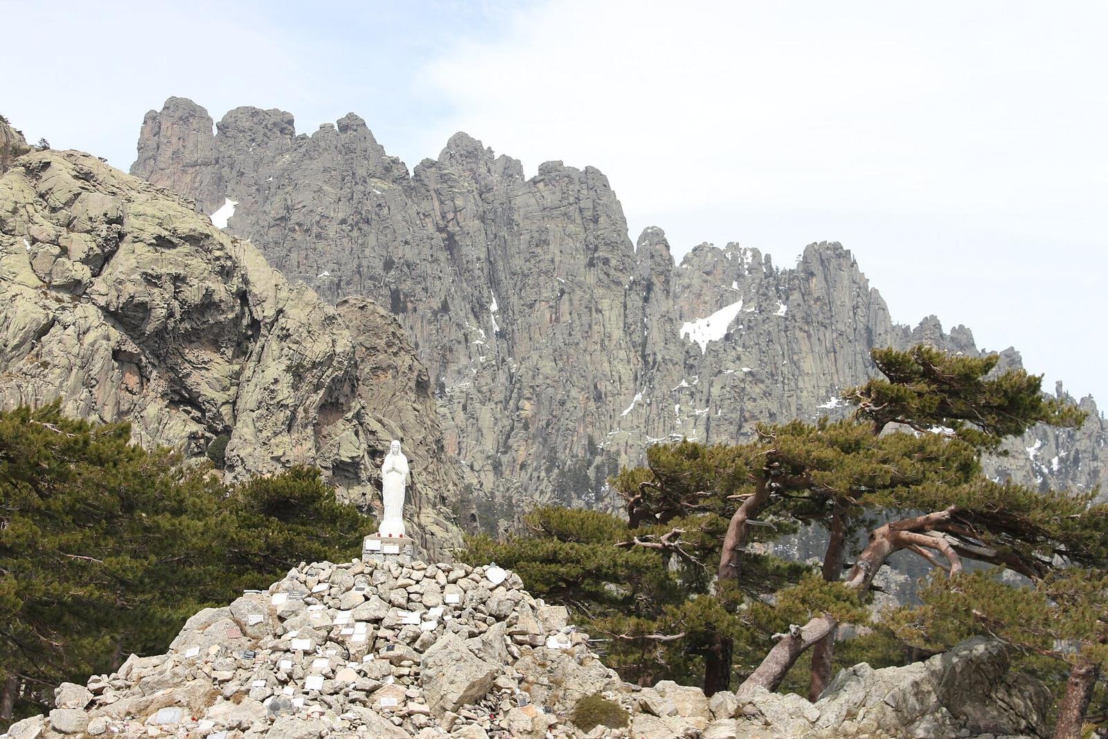
At the pass itself, a statue of Notre-Dame-des-Neiges (Our Lady of the Snows) stands a few metres from the road, on top of a large heap of rocks. It is the landmark for everyone who stops at the pass.
Is there an entrance fee for Bavella?
No. The pass and the trails are open to all, with no ticket and no opening hours.
Any costs come from what you add: a mountain guide for a more serious hike, a canyoning trip in the nearby valleys, or a meal at the pass. Check the parking arrangements at the pass on the spot, as they can change from one season to the next.
Do you need to book?
Not for a visit on your own: just drive up to the pass.
Yes if you want a guided activity in summer, such as canyoning in the Purcaraccia area or an accompanied hike. Groups are small and places go fast in July and August.
Partner links: if you book through these links, we earn a commission at no extra cost to you. Partner links · Learn more
Guided tours and day trips on GetYourGuide
How long do you need at Bavella?
- The pass and viewpoints: an hour or two, with the statue of Notre-Dame-des-Neiges and a few steps along the trails around the pass.
- A short hike, such as the Trou de la Bombe: half a day at an easy pace.
- A river swim on top of the walk: a full day.
Add the driving time, which is long. Even from Porto-Vecchio, the climb to Bavella is on narrow mountain roads with lots of bends. Allow plenty of time and set off early.
Bavella hikes: Trou de la Bombe and other trails

Bavella is one of the great hiking areas of Corsica. There is something for every level.
The Trou de la Bombe. This is the best-known walk. Its Corsican name is "U Tafunu di u Cumpuleddu". The trail starts at the pass and leads to an arch in the rock, a large round hole through the ridge, through which you see the sky and the valley on the other side. The Porto-Vecchio tourist office lists it among its hiking trails. It is the walk to do with children who enjoy walking, taking care near the hole, where the ground becomes rocky.
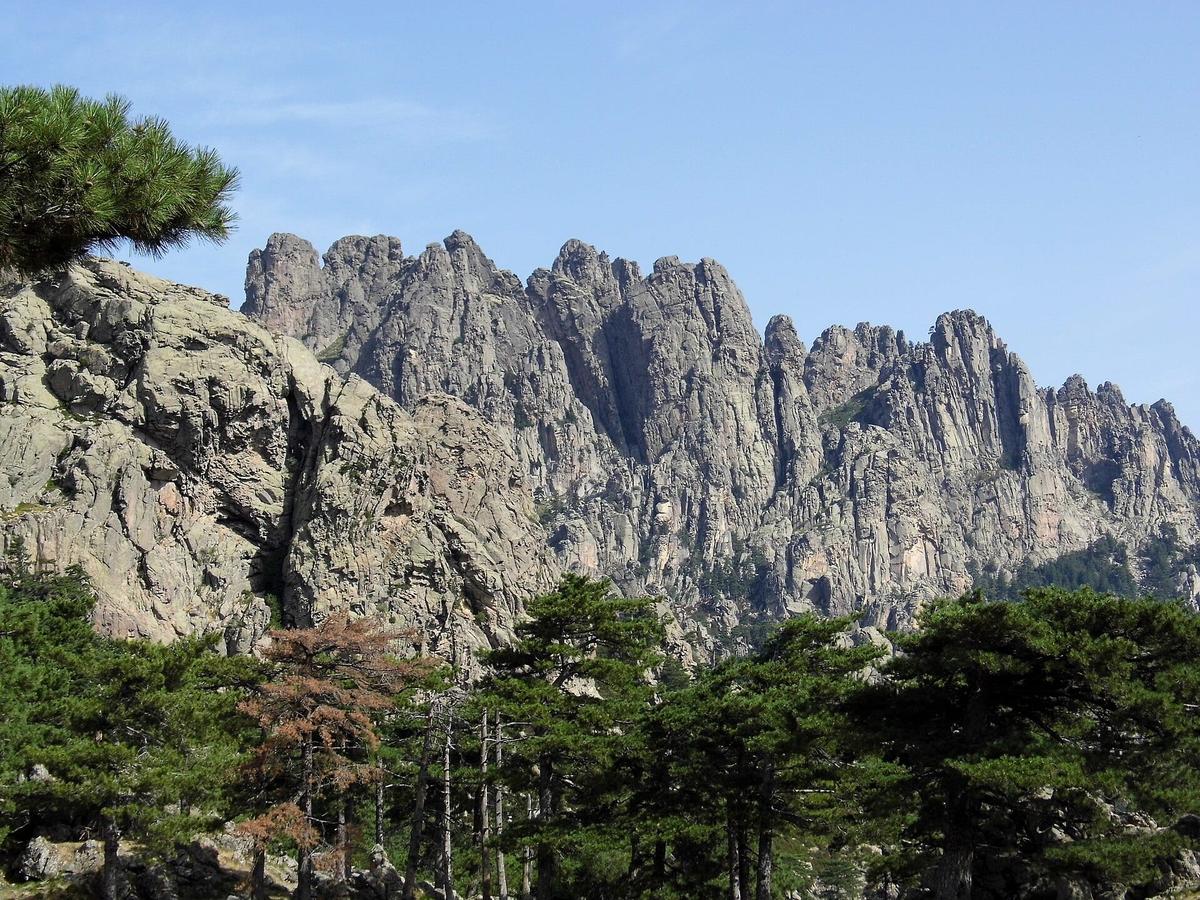
Other trails. From the pass, other routes head towards the needles. The alpine variant of the GR20 goes via the Bocca di u Pargulu, right up close to the granite towers. It is only for experienced hikers: rocky sections, some with chains, and big drops. Do not attempt it without mountain experience.
Punta Tafunata. Above the i Paliri refuge, Punta Tafunata, the "pierced peak", rises to 1312 m. It owes its name to a hole that goes right through the mountain.
Tips for hiking at Bavella:
- Set off early. In the morning, the light is beautiful, the heat bearable and storms still far off.
- Take water. There are few water points on the trails.
- Wear good shoes. The granite is rough, but the slabs can be slippery, especially after rain.
- Follow the waymarks. Among the jumble of rocks, it is easy to lose the trail.
- Tell someone your route if you are going alone.
Bavella and the GR20
The GR20, the long-distance trail that crosses Corsica from north to south, passes through Bavella. Coming from the Asinau refuge, at 1536 m, it runs along the foot of the needles in the Rizzanese valley, then reaches the pass. After Bavella, it drops down to Conca, its southern end, via the Foce Finosa and the i Paliri refuge.
At the pass you will meet GR20 hikers with big rucksacks, often near the end of their trek. For a day visit, you can easily walk an hour along the GR20 and come back the same way, to get a taste of the trail without a multi-day commitment.
Natural pools near Bavella: the Solenzara and the Purcaraccia
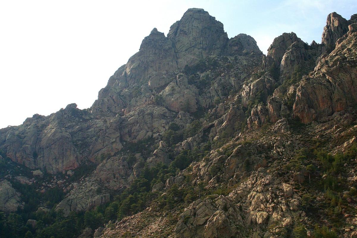

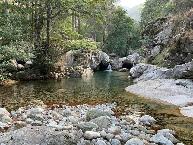
In summer, many visitors combine Bavella with a river swim. On the east side, the D268 drops from the pass to Solenzara, following the valley of the Solenzara river. Along this valley, the clear pools between the granite rocks draw swimmers.
The Purcaraccia. This is the best-known stream in the area, with its waterfalls and natural pools. It starts about 8 km from the pass, heading down the D268. The site is very popular for canyoning, with natural slides and jumps.
Take care in the river:
- Never jump without checking the depth. The water level changes with the seasons and rocks lie just below the surface.
- Watch out for storms. A storm upstream can make the water rise very quickly, even if it is sunny where you are. Get out of the river as soon as clouds build over the mountains.
- Respect the place. No soap in the water, and take your rubbish with you.
- Canyoning is done with a guide. The jumps and abseils require equipment and good knowledge of the terrain.
How to get to the Bavella Needles
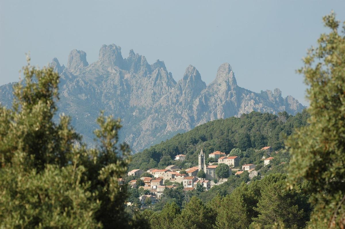

From Zonza. The shortest route. The D268 climbs from Zonza to the pass through the forest. Allow about twenty minutes, often more in summer.
From Porto-Vecchio. Drive up to L'Ospedale and then Zonza before taking the road to the pass. The whole drive is in the mountains: allow well over an hour.
From Solenzara. The D268 climbs the Solenzara valley to the pass. This is the road for the natural pools. It is narrow and very winding.
From Ajaccio. The route goes via Propriano, Sartène or Levie, then Zonza. Allow half a day of driving for the round trip, or more. It is better to stay in the south of the island.
Road hazards:
- Free-roaming animals. In Corsica, pigs, cows and goats wander freely, and the Bavella road is no exception. They can appear round a bend or lie down in the middle of the road. Drive slowly and do not feed them.
- Passing. The road is narrow in places. Coaches and camper vans force you to slow down, or even reverse.
- Parking at the pass. In summer, the spaces at the pass are taken by late morning. Arrive early and do not park where you block others.
- Winter. The pass can be snowy or icy. Check road conditions before driving up.
Renting a car. Without a car, Bavella is almost impossible to reach. A car rented in Ajaccio, Figari or Bastia gives you the freedom to link the pass, the rivers and the coast.
Mountain weather: staying safe
Bavella is in the mountains, and the weather changes fast. It can be sunny on the coast and cloudy at the pass, with strong wind and a much lower temperature.
- Afternoon storms are common in summer. Do your hikes in the morning and be back down by early afternoon.
- Fog can wrap the needles within minutes and make the waymarks hard to follow.
- The wind blows hard at the pass. Bring a warm layer, even in midsummer.
- Wildfires. In summer, in strong wind and high heat, access to some mountain areas in Corsica may be restricted to prevent fires. Check before setting off on a hike.
Bavella with children
The pass makes a good family outing: the scenery is striking, the statue of Notre-Dame-des-Neiges on its heap of rocks amuses younger children, and the pigs met on the road are often among the best memories.
- Choose a short walk from the pass, such as the start of the Trou de la Bombe trail.
- Keep children close on the rock slabs and near rocky sections.
- Plan breaks on the road: the hairpins quickly cause car sickness.
- In the river, always keep an eye on them, even in shallow pools.
Facts and figures
- A Virgin on a heap of rocks. The statue of Notre-Dame-des-Neiges at the pass stands on top of a large pile of boulders, a few metres from the road.
- A pierced peak. Punta Tafunata, at 1312 m, has a hole right through it, which gave it its name.
- Pines shaped by the wind. The twisted trees at the pass are one of Bavella's signature sights, just like the needles.
- The GR20's last pass. For hikers doing the GR20 from north to south, Bavella is one of the last stages before the finish at Conca.
There is no official count of visitors to the pass, which is open to all with no ticket office.
What to combine with the Bavella Needles
| Also worth seeing | Distance | Travel time |
|---|---|---|
| Bonifacio Citadel | 78 km | 105 min by car |
| Filitosa | 80 km | 110 min by car |
Approximate road distances and travel times.
The Alta Rocca. Zonza, Quenza and Levie, around Bavella, are mountain villages to explore on the way.
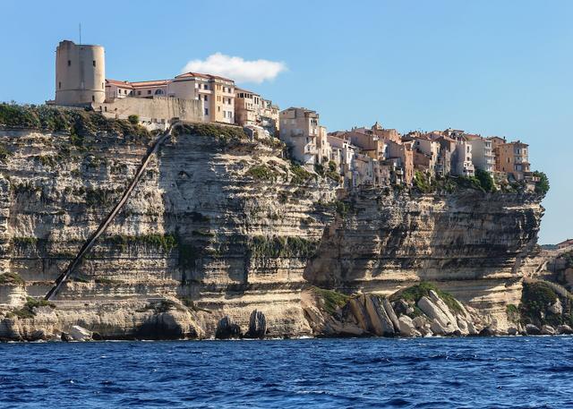
Bonifacio. The upper town and its white limestone cliffs, at the southern tip of the island, can be reached from Bavella via Porto-Vecchio. See also: Bonifacio Citadel
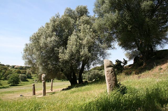
Filitosa. The prehistoric site and its statue-menhirs, in the Taravo valley, can be reached via Sartène and Propriano. See also: Filitosa
Further afield in Corsica. For a longer stay: Ajaccio and Napoleon's house, the Calanques de Piana and Scandola on the west coast, and Corte in the centre of the island. See also: Maison Bonaparte, Palais Fesch, Calanques de Piana, Scandola Nature Reserve, Corte Citadel and Museum of Corsica, Corsica
Where to eat and stay near Bavella
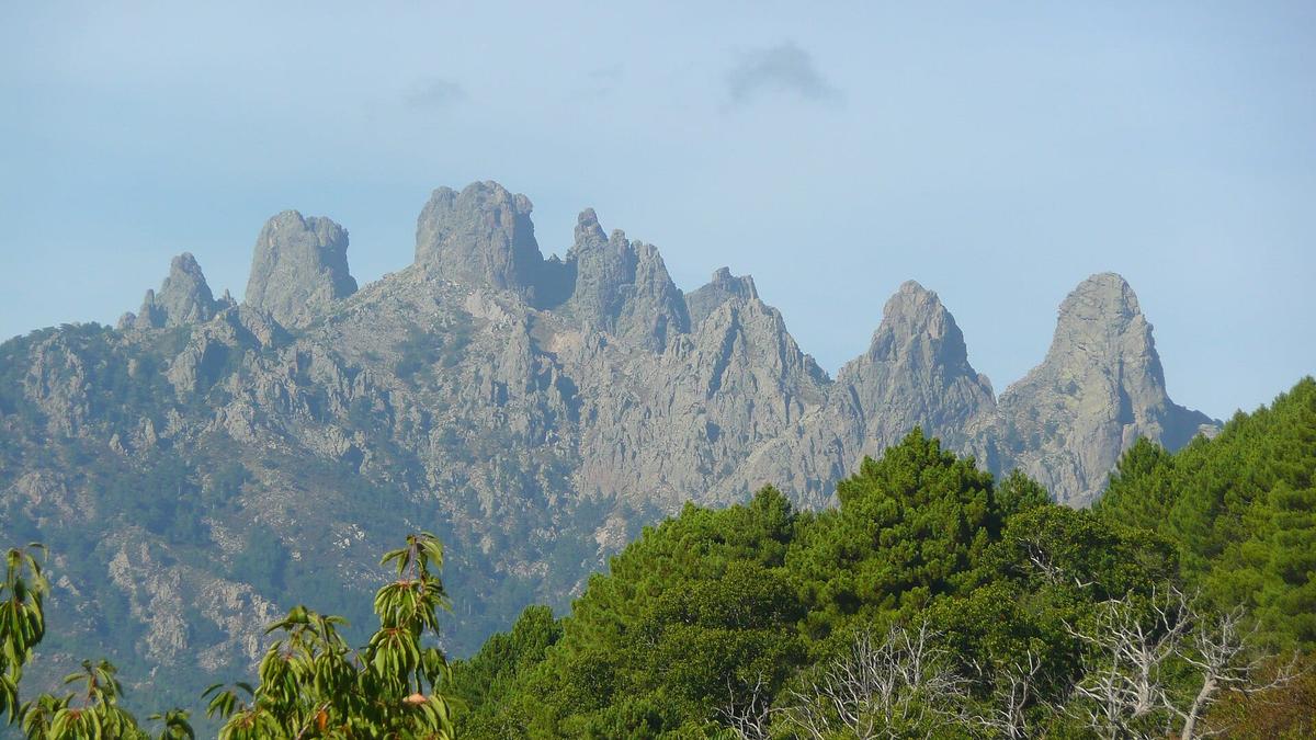

At the pass. A few places at the pass serve food to hikers and visitors in season. A picnic is the simplest option: take your rubbish with you.
In Zonza. The nearest village has hotels, guesthouses and restaurants. It is the best base for reaching the pass early in the morning.
In Porto-Vecchio. Further away, but with far more accommodation, and the sea. Handy if you are splitting your stay between beaches and mountains.
FAQ
Do you have to pay to visit the Bavella Needles?
No. The pass and the trails are free and open to all. Only guided activities, such as canyoning, cost money.
How high is the Col de Bavella?
1218 m. The highest of the needles, Punta Alta, reaches 1855 m.
Which hike should I do at Bavella?
The Trou de la Bombe, starting from the pass, is the best known and suits families who enjoy a bit of walking. The trails towards the needles, such as the alpine variant of the GR20, are for experienced hikers only.
Where can I swim near Bavella?
In the pools of the Solenzara river, along the D268, and in the Purcaraccia stream, about 8 km from the pass. Watch out for storms, which make the water rise very fast.
How long is the drive from Porto-Vecchio?
More than an hour on mountain roads, via L'Ospedale and Zonza. Set off early to find a space at the pass.
Are there pigs on the Bavella road?
Yes, often. Pigs, cows and goats roam freely in Corsica. Drive slowly, especially on bends.
Practical information
Official ticket-office prices 2026
Free admission
Address
Col de Bavella, route D268, 20124 Zonza, France
Directions
On site and nearby
- Nearest shops and pharmacy: Levie, 13 km away Straight-line distance, based on OpenStreetMap.
- Emergencies: 112 (all emergencies, free from any phone), 15 (SAMU, medical emergency)
Around the site, on Google Maps
With children
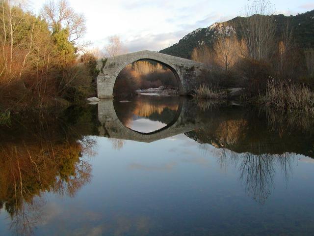
Family days out nearby: Cucuruzzu and Capula (11 km), Alta Rocca Museum (13 km), Spin'a Cavallu Genoese Bridge (25 km)
Swimming pools and play areas nearby, on Google Maps
Facts checked on 29 October 2026. Sources: visit-corsica.com, en.wikipedia.org
Map
In the same region
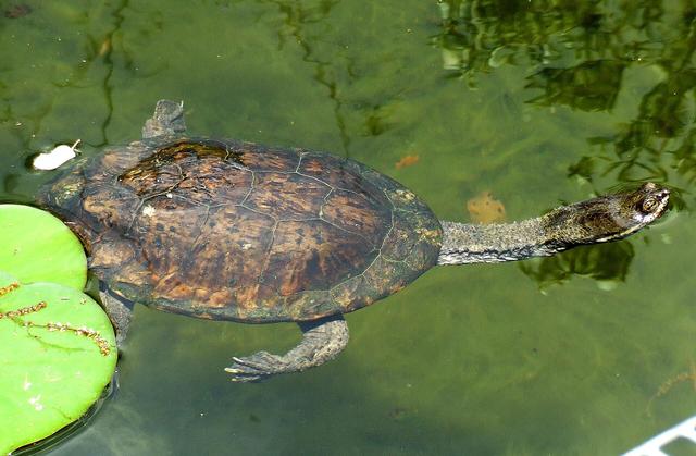
- Parc Galeafrom €10Free under 3