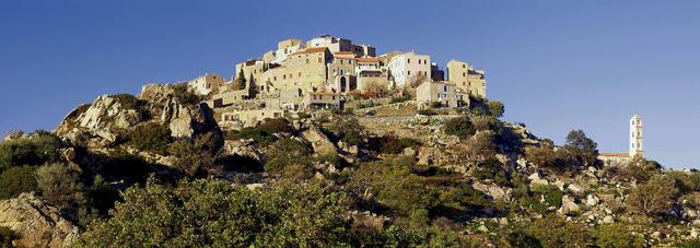
Agriates Desert: how to get to Saleccia and Loto beaches
Agriates Desert at a glance
- Admission
- Free
- Time needed
- about 8 h
- Where
- Santo-Pietro-di-Tenda
Facts checked on 11 November 2026. Full opening hours, reduced prices and access
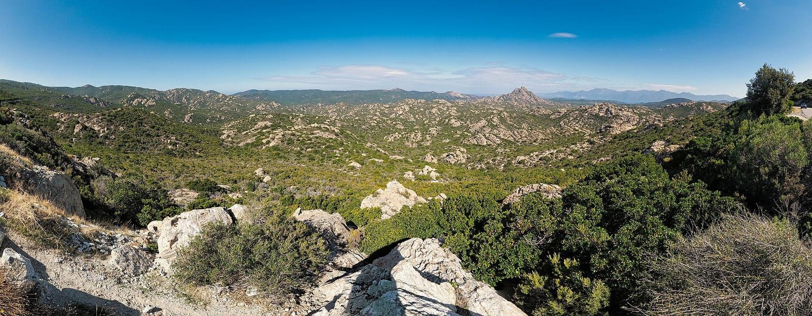

Between Saint-Florent and the Ostriconi river, the Agriates Desert is a wide stretch of scrubland and hills with no tarmac road and no village, fringed with white sand coves. Its two best-known beaches, Saleccia and Loto (Lotu in Corsican), can only be reached by boat, by a dirt track or on foot. Here is how to get there, how long to allow, when to go and what to bring.
Agriates Desert at a glance
- Where: in Haute-Corse, west of Saint-Florent, between the Gulf of Saint-Florent and the mouth of the Ostriconi. The area covers about 15,000 hectares and 37 km of wild coastline.
- Price: the site and the beaches are free. You only pay for transport (boat, 4x4 shuttle) and, at Saleccia, for parking if you come with your own vehicle.
- By boat: shuttles leave Saint-Florent harbour from April to October, weather permitting. The crossing takes 15 to 20 minutes.
- By the track: 12 km of dirt track from Casta, in practice for 4x4s only, about 45 minutes' drive.
- On foot: the coastal path links Saint-Florent and the Ostriconi in 35 km.
- Time needed: allow a full day. There is no half measure: once you are dropped on the beach, you stay until the return boat.
- Good to know: no shade, few water points, no shops outside the Saleccia area. Bring water, a hat and a picnic.
Why is it called the Agriates "desert"?
It is not a sand desert. The name comes from the Corsican agriate, meaning cultivated land. For centuries, and still in the 19th century, this area was the granary of Corsica. Under Genoese rule, wheat and olives were grown here, then figs, citrus fruit and almonds until the early 20th century. Shepherds brought their flocks down in winter: there were still around a hundred flocks of sheep at the end of the 19th century, according to Wikipedia.
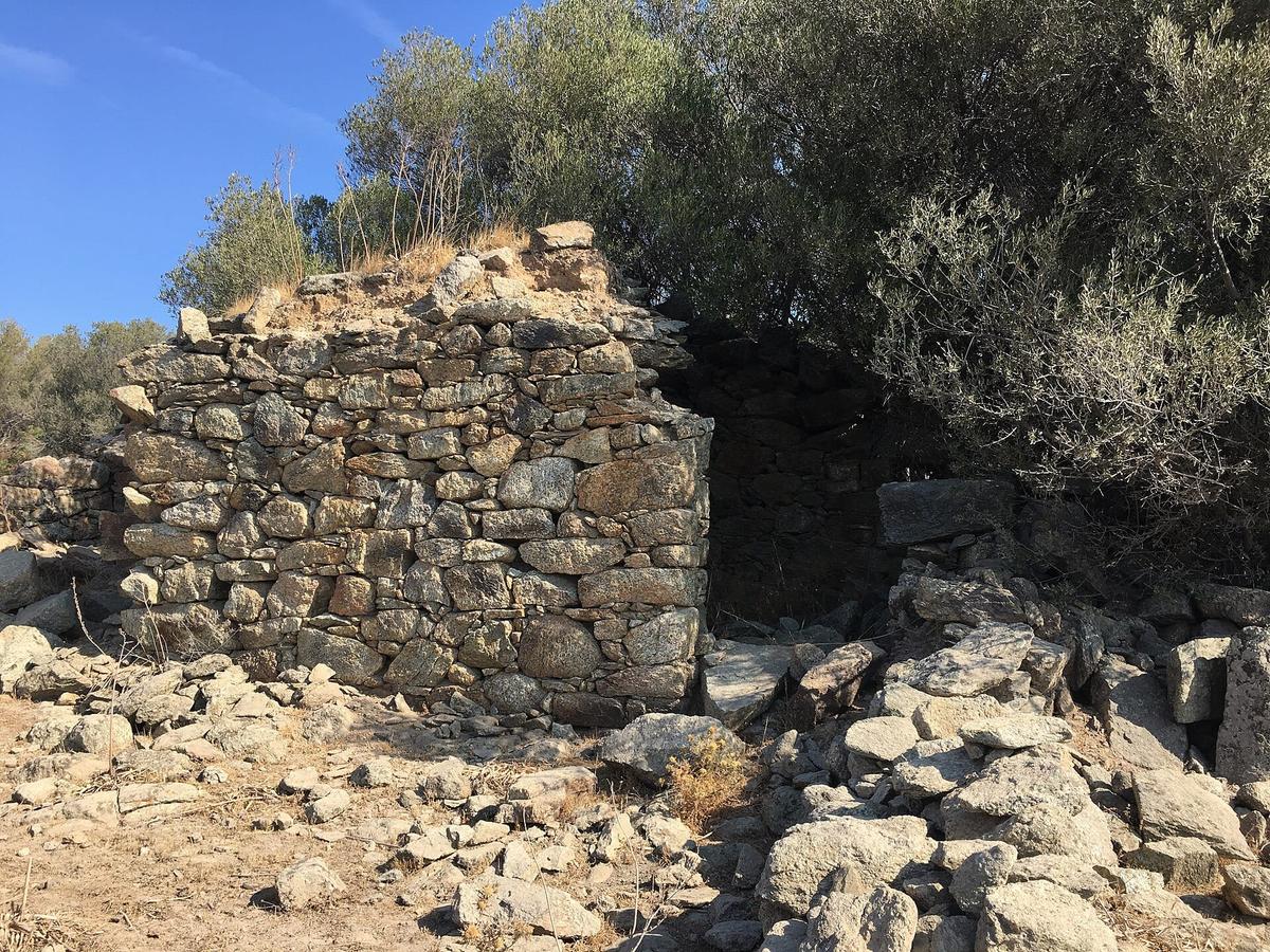
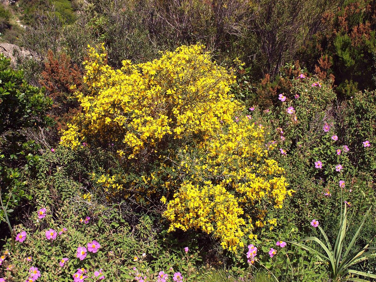
The "desert" came later. Repeated fires, often caused by burning the land for grazing, ruined the crops. The farmers left. What remains is low scrub (the maquis), granite boulders and pagliaghji: small one-room dry-stone huts used as shelters, sheepfolds or grain stores.
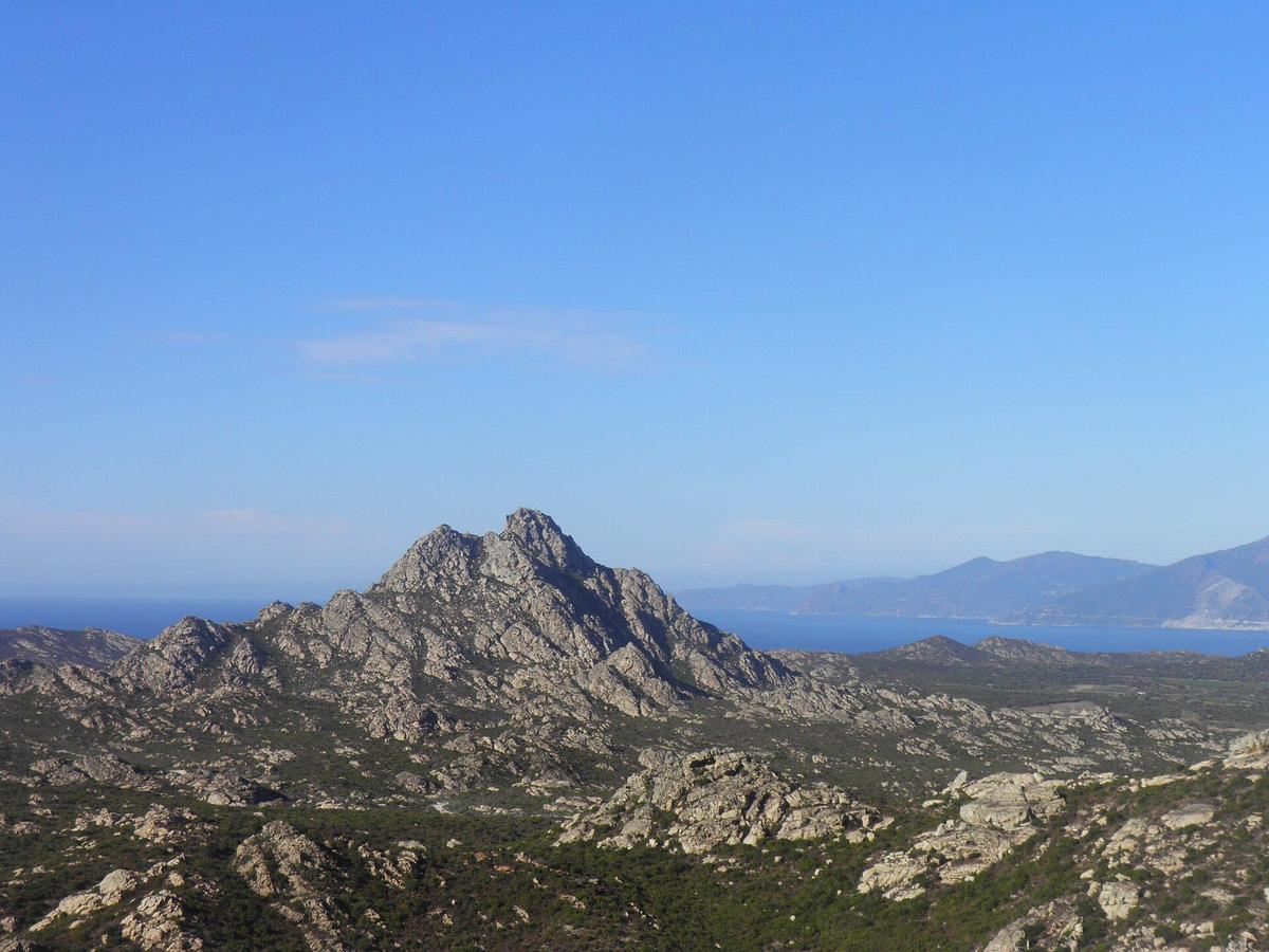
Today nobody lives in the Agriates all year round, and there is no tarmac road along the coast. The highest point, Cima d'Ifana, rises to 479 m.
A site that almost disappeared. In the mid-20th century, developers took an interest in the western Agriates: a tourist resort with 1000 beds was planned near Malfalcu, and tracks were opened to prepare it. In 1958, the French state even considered the area for nuclear tests.
Protection. The Conservatoire du littoral, France's coastal protection agency, began buying land in 1979. It now owns about 5500 hectares, more than a third of the site. The rest belongs to the local councils and private owners. Coastal rangers patrol the area: there have been 8 of them since 2008, according to Wikipedia.
How to get to Saleccia and Loto beaches
This is the question that shapes the whole day. There are three ways in, and none of them uses an ordinary road.

By boat from Saint-Florent
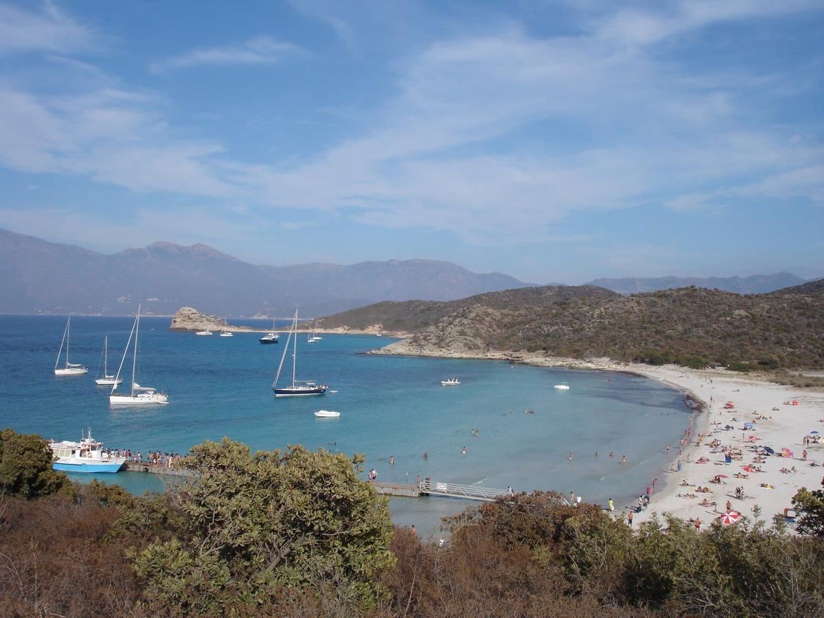
This is the simplest and most popular option. Shuttles and water taxis leave Saint-Florent harbour from April to October, when the sea allows. The crossing takes 15 to 20 minutes depending on the beach.
- For Loto, boats moor at a floating jetty, so getting off is easy, even with young children. Wikipedia says two small companies run this route in summer.
- For Saleccia, you usually land from a rigid inflatable boat, with no jetty. Expect to get your feet wet.
- Both beaches in one day: a common plan is to land at Loto, walk to Saleccia along the path, then take the boat back from Loto. One company also runs a horse-drawn carriage between Loto and Saleccia.
The companies do not publish clear prices online, and fares change with the season and the type of boat. Ask for the return fare at the harbour before boarding, and check the exact time of the last boat back. Several operators have cut back in recent years: book the day before in July and August.
Return times. Boats leave at fixed times. If you miss the last one, the only way back is on foot, which takes several hours. Note the time and be at the jetty early.
By the Saleccia track, in a 4x4
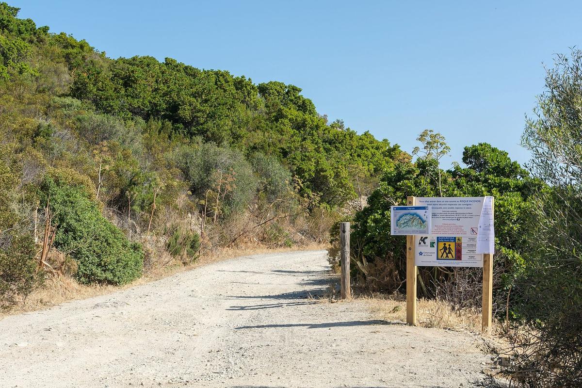
The track starts at the hamlet of Casta, on the D81 road, about 8 km from Saint-Florent. It is 12 km long and takes about 45 minutes. It was resurfaced and its entrance moved in 2023, in a 3.22 million euro project led by the Corsican regional authority, the Conservatoire du littoral and the commune of Santo-Pietro-di-Tenda.
- Do not try it in an ordinary car: the track is rocky and a low vehicle can lose its sump or a tyre. Also check that your rental agreement allows unpaved roads.
- At the end of the track, a paid car park has been built behind the beach. When it opened in 2023, the fee was €6 per car. It can close when full: arrive early.
- 4x4 shuttles with drivers leave from Casta. Some packages combine the outward trip by 4x4 and the return by boat to Saint-Florent.
On foot, along the coastal path
The old customs officers' path runs along the whole Agriates coast, from Roya beach in Saint-Florent to the Ostriconi: 35 km and about 14 hours of walking, according to Visit Corsica. Most people do it in two or three days, sleeping at the Saleccia campsite or the Ghignu refuges.
For a day trip, the most common option is the return walk between Loto and Saleccia, about 2.5 km apart. Allow a little over an hour each way. Visit Corsica gives about 5 hours 45 minutes on foot from Saint-Florent to Saleccia: it can be done, but you are in full sun.
Renting a car
To reach Saint-Florent from Bastia, Calvi or L'Île-Rousse, a car is the most practical option. Saint-Florent is about 35 minutes from Bastia over the Col de Teghime. Then leave the car at the harbour and take the boat, unless you have a real 4x4.
How much does it cost to visit the Agriates Desert?
Access to the Agriates, its beaches and paths is free. There is no ticket office and no entry fee. You only pay for:

- the boat from Saint-Florent, at the fare of the company you choose;
- the 4x4 shuttle from Casta, if you take one;
- the Saleccia car park, if you come with your own vehicle.
The boat companies also pay a tax on every passenger they carry to the beaches.
Saleccia beach: what you need to know
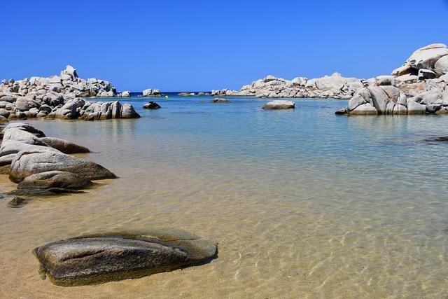
Saleccia is the most famous beach in the Agriates. It stretches for about 1200 m of fine white sand, with shallow turquoise water. Behind the beach are pine woods and dunes. In 2016 the French magazine Paris-Match listed it among the most beautiful beaches in Corsica.
A film location. In 1961, the makers of The Longest Day filmed D-Day landing scenes at Saleccia. The US Army had found the Normandy beaches too built-up. The US Sixth Fleet and the French landing ship Argens took part in the shoot.
A Resistance story. In July and August 1943, the submarine Casabianca landed 13 tonnes of weapons at Saleccia for the Corsican Resistance, according to Wikipedia.
On site. A campsite lies about 300 m from the sea. It is the only place on the coast where you can buy food and drink. A buoyed channel, in place since 2022, keeps boats away from swimmers: swim outside it.
Loto beach: the easiest to reach
Loto is smaller and closer to Saint-Florent. The beach is shared between Santo-Pietro-di-Tenda and Saint-Florent. It is backed by a dune where large-fruited junipers grow, a protected species: stay on the marked paths.
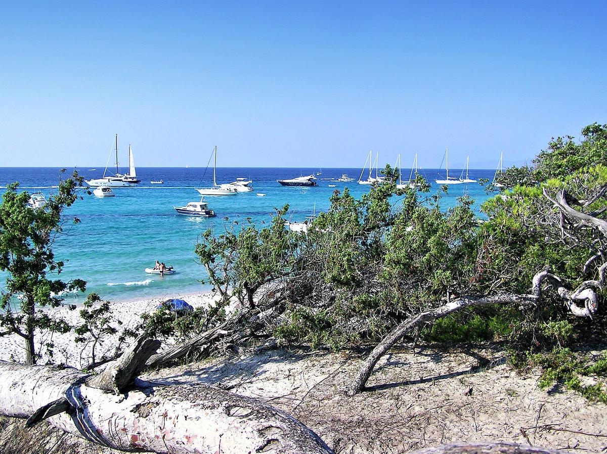

The floating jetty makes landing simple, so this is the best beach for families with young children. It is often damaged by winter storms and repaired before the season. Loto is also the starting point of the walk to Saleccia.
What else to see in the Agriates
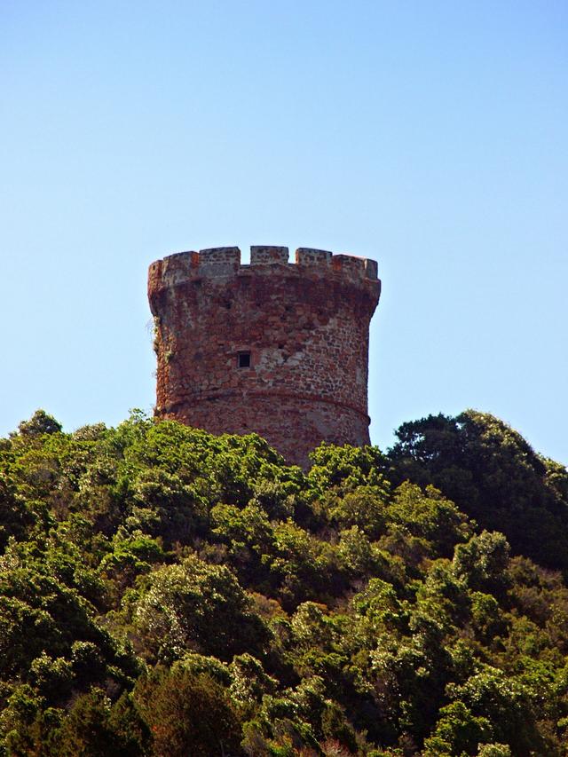
The Mortella tower. This Genoese tower, built from 1553 on Mortella point, can be seen from the path between Saint-Florent and Loto. On 6 February 1794, a British squadron attacked it. Its 38 defenders, with 3 guns, held out so well that the British had to withdraw after three hours of fighting, then bombard it for two more days to take it. Impressed, the British copied the design across their empire: these are the Martello towers, a corruption of the name Mortella.
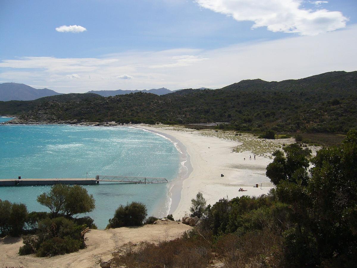

Malfalcu and Ghignu beaches. Further west, they are even more remote. You reach them by a 13 km track from Bocca di Vezzu, which can be badly rutted after heavy rain, or by the coastal path. The Ghignu refuges, old shepherds' huts restored by the Conservatoire du littoral, are a stopover for hikers.
The dry-stone huts. Along the paths, these huts are a reminder that the hills were once farmed. Some have been restored to shelter walkers.
The cat-fox. The Agriates are home to the ghjattu volpe, a wild cat found only in Corsica, identified in the area by scientists. You are very unlikely to see one, but it shows how valuable this land is for wildlife.
When is the best time to visit?
May, June and September are the best months. The sea is already pleasant or still warm, the boats are running, and there are far fewer people than in high summer.

July and August are the busiest months. Saleccia is packed around midday, and the heat is strong on the paths, with no shade at all. Take the first boat in the morning.
April and October: the shuttles still run, but less often, and the sea can be too rough to go out. Call the day before.
From November to March, there are no regular boats. That leaves the track and the path, for well-equipped walkers.
Wind. In strong wind, the boats may not go out, and swimming becomes dangerous. Check the marine forecast before booking.
Fire risk. In summer, signs at the start of each track show the fire risk level. On high-risk days, tracks and paths may be closed.
How long do you need in the Agriates?
For a beach day, allow a full day: the morning boat, swimming, a picnic, the walk between Loto and Saleccia and the afternoon boat. Half a day at Loto is possible if you take a morning boat and come back in the early afternoon.

The full coastal path takes two or three days, with one or two nights on the way.
Visiting with children
Loto suits families well: the jetty makes arrival easy, the beach slopes gently and children enjoy the boat trip. Saleccia is also shallow, but landing without a jetty is less practical with little ones.
A few tips:
- Bring a parasol or a UV beach tent. There is almost no shade on the beaches.
- Bring plenty of water. There is no drinking water outside the Saleccia campsite.
- Avoid the Loto to Saleccia walk in the hottest hours with young children.
- A pushchair is useless here: sand, tracks and rocks. Bring a baby carrier.
Rules to follow
The site is protected and patrolled. The coastal rangers enforce the rules:
- no wild camping or bivouacking on the beaches;
- no fires, not even a barbecue;
- no motor vehicles off the open tracks;
- no walking on the dunes.
Take all your rubbish home with you.
Guided tours and boat trips
Several operators in Saint-Florent run boat trips along the Agriates coast with swimming stops, or combined 4x4 and hiking days. This is handy if you want to see several coves in one day without organising the transport yourself.
Partner links: if you book through these links, we earn a commission at no extra cost to you. Partner links · Learn more
What to combine on the same day
| Also worth seeing | Distance | Travel time |
|---|---|---|
| Bastia Museum | 23 km | 35 min by car |
| Calvi Citadel | 70 km | 75 min by car |
Approximate road distances and travel times.

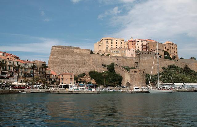
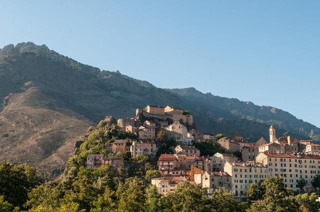
Saint-Florent is less than an hour from Bastia, where the citadel and the museum tell the story of the city. See also: Bastia Museum To the west, the Balagne road leads to Calvi and its citadel. See also: Calvi Citadel Inland, the Restonica gorges near Corte show another side of Corsica, with freshwater pools. See also: Restonica Gorges (Gorges de la Restonica)
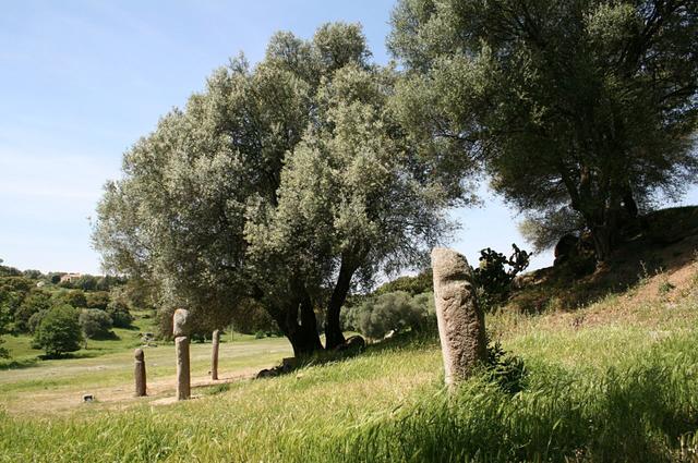
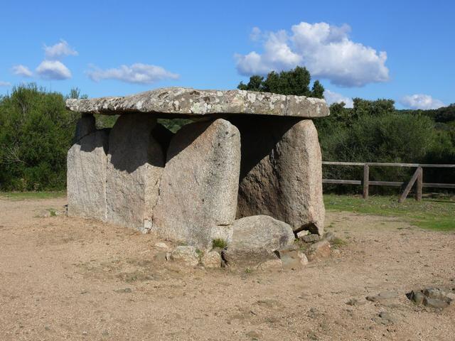
For more wild coastline, carry on to the Calanques de Piana and the Scandola nature reserve on the west coast. In the south, the Cauria megalithic site rounds off a tour of the island. See also: Calanques de Piana, Scandola Nature Reserve, Cauria megalithic site, Corsica
Where to eat and stay
On site, the Saleccia campsite, about 300 m from the beach, has a bar, a restaurant and a grocery shop according to Wikipedia. Apart from the Ghignu refuges for hikers, it is the only place to stay on the coast. At Loto, there is a restaurant two minutes from the jetty. Everywhere else, bring a picnic.
Saint-Florent is the most practical base: the boats leave from the harbour in town, and there are hotels, B&Bs and fish restaurants. L'Île-Rousse, to the west, is another base if you plan to reach the Agriates from the Ostriconi side.
Places to stay near Saint-Florent
FAQ
How do you get to Saleccia beach without a 4x4?
By boat from Saint-Florent harbour, from April to October, or on foot along the coastal path from Loto. The 12 km track from Casta is not suitable for an ordinary car.
Is there a fee to visit the Agriates Desert?
No. The site and the beaches are free. Only the boat, the 4x4 shuttle and the Saleccia car park cost money.
How long is the boat ride?
Between 15 and 20 minutes from Saint-Florent, depending on the beach.
Can you walk from Loto to Saleccia?
Yes, along the coastal path. The two beaches are about 2.5 km apart, a little over an hour's walk, with no shade.
Can you camp in the Agriates?
Not wild camping. The only options are the Saleccia campsite and the Ghignu refuges on the coastal path.
Which film was shot at Saleccia?
The Longest Day, in 1961, for D-Day landing scenes.
Practical information
Official ticket-office prices 2026
Free admission
Address
Plage de Saleccia, désert des Agriates, 20217 Santo-Pietro-di-Tenda, France
Directions
On site and nearby
- Nearest shops and pharmacy: Saint-Florent, 10 km away Straight-line distance, based on OpenStreetMap.
- Emergencies: 112 (all emergencies, free from any phone), 15 (SAMU, medical emergency)
Around the site, on Google Maps
With children
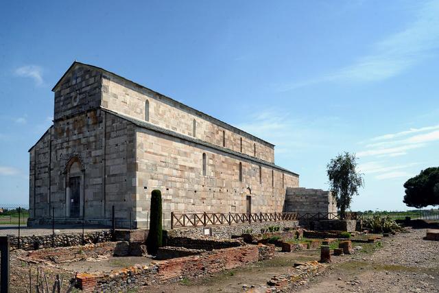
Family days out nearby: La Canonica and Mariana archaeological site (32 km), Calvi Citadel (41 km), Parc Galea (42 km)
Swimming pools and play areas nearby, on Google Maps
Facts checked on 11 November 2026. Sources: visit-corsica.com, fr.wikipedia.org, en.wikipedia.org, fr.wikipedia.org, fr.wikipedia.org, corsenetinfos.corsica, corsenetinfos.corsica, questions.assemblee-nationale.fr
Map
In the same region
- Parc Galeafrom €10Free under 3