Clécy and the Suisse Normande: a practical guide to the Orne valley
Clécy and the Suisse Normande at a glance
- Admission
- Free
- Time needed
- a full day
- Where
- Clécy
Facts checked on 4 November 2026. Full opening hours, reduced prices and access
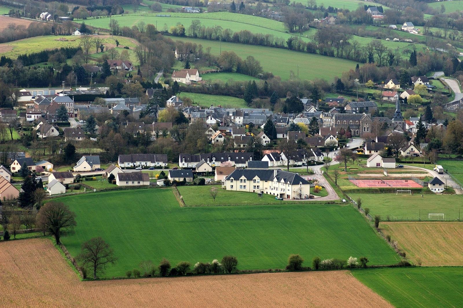

Clécy is the easiest base for the Suisse Normande: the Orne at the foot of the village, the Rochers des Parcs cliffs opposite, the Pain de Sucre and the Croix de la Faverie above. Everything is free to access, with no ticket. Here is how long to allow, where to park, which trails to walk, where to climb or hire a canoe, and what to combine on the same day, from Falaise to Caen.
Clécy at a glance
- Where: in Calvados, on the left bank of the Orne, about 35 km south of Caen.
- Price: free. The village, the riverbanks, the trails and the viewpoints are open to all. Only supervised activities (canoeing, guided climbing, paragliding) and the private museums charge a fee.
- Time needed: 1 hour for the village, half a day with a walk up to the Croix de la Faverie or the Rochers des Parcs, a full day if you add canoeing or climbing.
- Highlights: the Rochers des Parcs, the Viaduc de la Lande (1866), the Croix de la Faverie, the Pain de Sucre, St Peter's Church and the André Hardy museum.
- Good to know: the Clécy tourist information office closes from October to Easter outside school holidays. The Thury-Harcourt office takes over.
- Best for: hikers, climbers, families after a day outdoors, and anyone who wants Normandy's hills rather than its beaches.
Why visit Clécy and the Suisse Normande
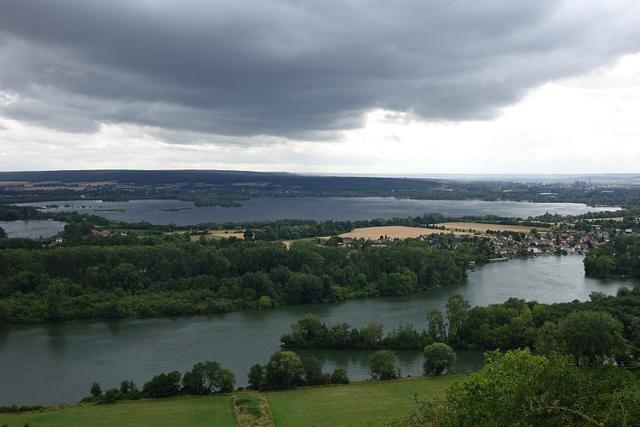
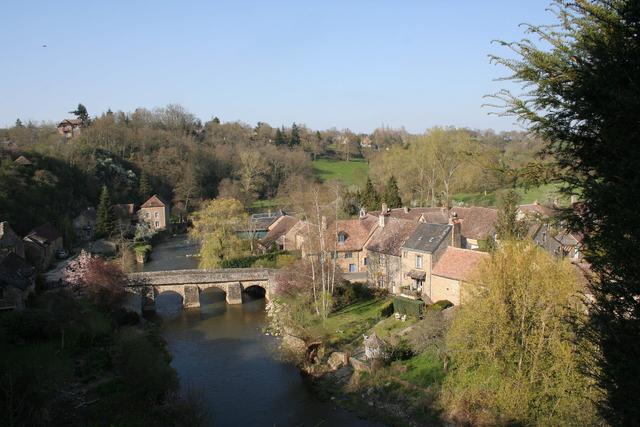
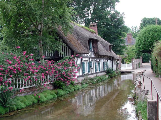
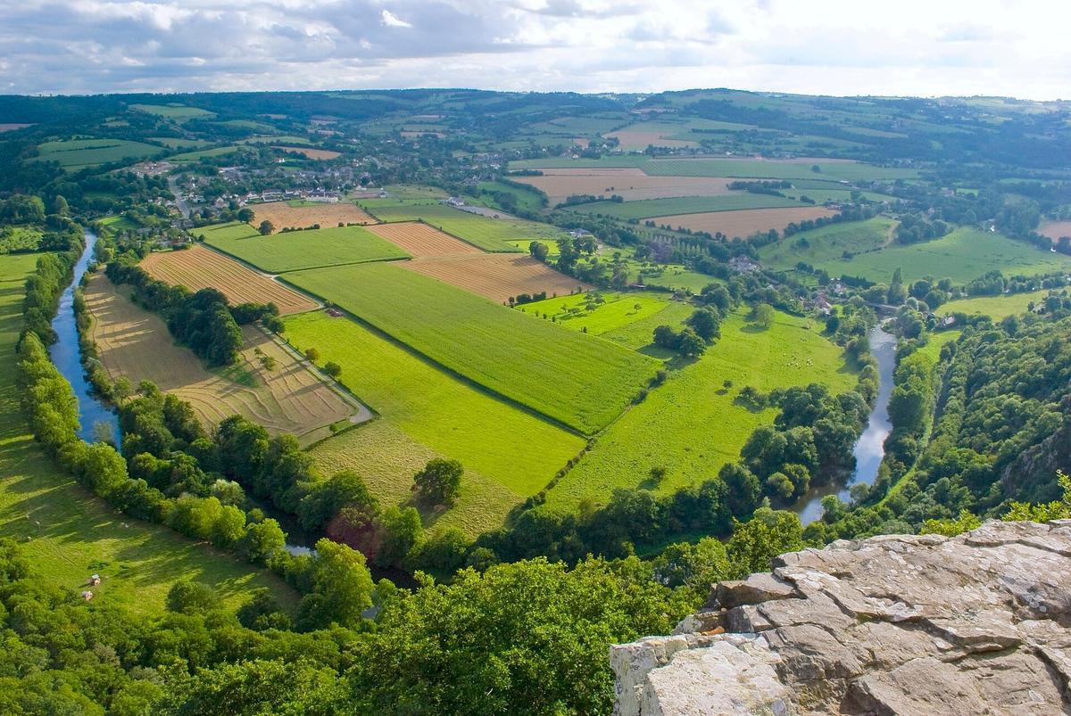
There is nothing Swiss about the Suisse Normande ("Norman Switzerland") except the terrain. It is a stretch of the Orne valley between Thury-Harcourt and Pont-d'Ouilly where the river cuts between cliffs, wooded hills and heather moorland. By Normandy standards, it is almost mountain country.
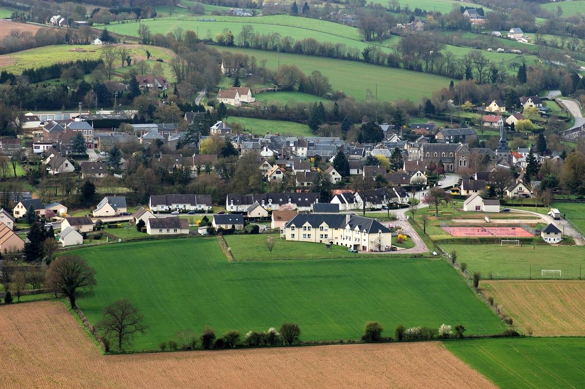
Clécy is its centre. In 1932 the village was given the title "Capital of the Suisse Normande". It has 1286 inhabitants (2023) and is listed as a Village de caractère du Calvados.
What makes it worthwhile is how much is packed in: within a few kilometres you get a climbing cliff, a river for canoeing, a 19th-century viaduct and viewpoints above 250 metres. The painters Georges-Jules Moteley, Paul-Émile Pissarro and André Hardy all worked at the foot of the rocks, along the Orne.
Our tip: bring proper shoes. Most of the best views are earned on foot, and the paths climb quickly.
How long does it take to visit Clécy?

Allow 1 hour for the village alone: Place du Tripot, the church, the lanes and the Orne riverbanks. To get a real feel for the Suisse Normande, plan half a day at least, or a full day if you want to combine walking and an activity.
Some benchmarks:
- The Croix de la Faverie loop: 3 km, the shortest way to a view over the valley.
- The Hauts Vents loop: 11 km, starting from L'Éminence.
- The greenway from Clécy to Thury-Harcourt: 13 km along the Orne, on foot or by bike.
- The Pain de Sucre mountain-bike route: 19.5 km.
- A canoe trip down the Orne: 4 to 28 km depending on the route.
Is Clécy free? Prices and activities
Yes. The village, the Orne riverbanks, the Rochers des Parcs, the Croix de la Faverie and the Pain de Sucre are public spaces or natural sites with free access. There is no ticket and no opening time.
What you pay for:
- Supervised activities: canoe or kayak hire, climbing with an instructor, guided via ferrata, tandem paragliding. Each provider sets its own prices. Ask the tourist office or the provider directly.
- The climbing guidebook for the Rochers des Parcs: €10, sold at the tourist offices and in their online shop.
- The village's private museums, such as the André Hardy museum or the miniature railway museum.
Fishing: a fishing permit is required on the Orne. It is sold at the Suisse Normande Tourisme offices and by local dealers.
Opening hours and the best time to visit
The natural sites have no opening hours. The tourist information office does, and it is where you will find maps, the climbing guide and the day's advice.
Clécy tourist information office (Place du Tripot), according to the tourist board:
- Easter and All Saints' school holidays: Tuesday to Saturday, 10:00 – 12:30 and 14:30 – 17:00.
- May, June and September: Tuesday to Saturday, 10:00 – 12:30 and 14:00 – 18:00; Sundays and public holidays, 10:00 – 12:30.
- July and August: Monday to Saturday, 10:00 – 12:30 and 14:00 – 18:00; Sundays and public holidays, 10:00 – 12:30, and 10:00 – 16:00 on Sundays from 12 July to 16 August.
- October to Easter, outside school holidays: closed. Contact the Thury-Harcourt office (2 place Saint-Sauveur), open Tuesday to Friday and on Saturday mornings. It closes over the Christmas holidays.
Both offices share the phone number +33 2 31 79 70 45.
When to come. Spring and September are the most pleasant, with fewer people than in July and August. In summer, arrive in the morning at weekends. In winter, the paths are muddy.
How to get to Clécy
By car. This is the easiest option. Clécy is about 35 km south of Caen. Allow around forty minutes from central Caen.
Parking. On Place du Tripot, parking is limited to 30 minutes on the Rue de la Poste side. On Sunday mornings in July and August, parking is not allowed on Rue de la Poste. To reach the Orne riverbanks, take Rue Ermington. At busy times, Rue des Guinguettes becomes one-way, with signs on site: you may not be able to leave the way you came in. Coaches cannot drive up to La Faverie.
By campervan. Clécy has a municipal campervan area with a service point. There are others at Le Hom (Thury-Harcourt), Saint-Rémy-sur-Orne and Pont-d'Ouilly.
Without a car. Bus line 117 (Caen-Flers, Nomad Car network) stops at Thury-Harcourt, Clécy and Condé-en-Normandie. The nearest SNCF stations are Caen and Flers. Check the bus timetable before you set off, especially on Sundays. See also: Normandy without a car
By bike. Clécy is on the Vélo Francette, the cycle route from Ouistreham to La Rochelle.
Renting a car. To combine Clécy, Falaise and the other sites of the valley, a car is the most flexible option. The nearest rental agencies are in Caen, at the station or in town.
Partner links: if you book through these links, we earn a commission at no extra cost to you. Partner links · Learn more
What to see in Clécy: the village, the church and the André Hardy museum
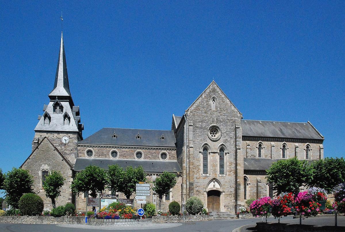

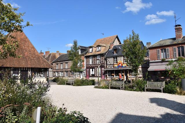
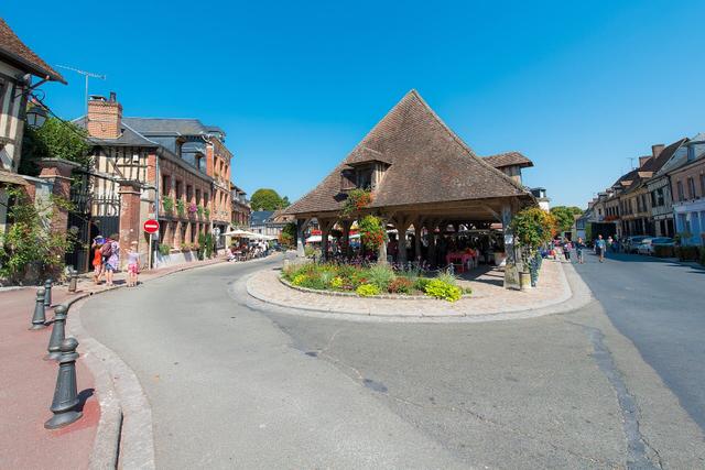
Place du Tripot. This is the heart of the village. In the 18th century it held three market halls. Today you will find the tourist office, the shops and, on summer Sunday mornings, the market.
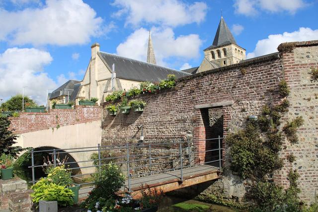
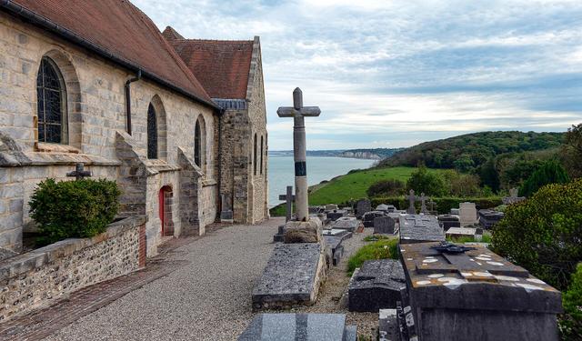
St Peter's Church. Its bell tower dates from the 15th century, and the nave and transept were enlarged in 1855. A Merovingian cemetery once lay near the church; a granite cross is all that remains.
The "Clécy et son histoire" trail. This walking tour from the tourist office takes in the former presbytery that now houses the town hall, the Passage des Abbés, the Manoir des Jardins, the Manoir du Poncel and Les Châtelets, a steep lane from the old village.
The André Hardy museum. It shows more than 100 works by this painter of the local landscape: oil paintings, often small, plus drawings, gouaches and engravings. It opens only in the warmer months, April to September according to the tourist office: check the days before you go.
Also. The miniature railway museum, and the Manoir de Placy, a former fortified manor from the 14th and 16th centuries, 1 km east of the centre, seen from the outside.
The Rochers des Parcs, the Pain de Sucre and the viewpoints
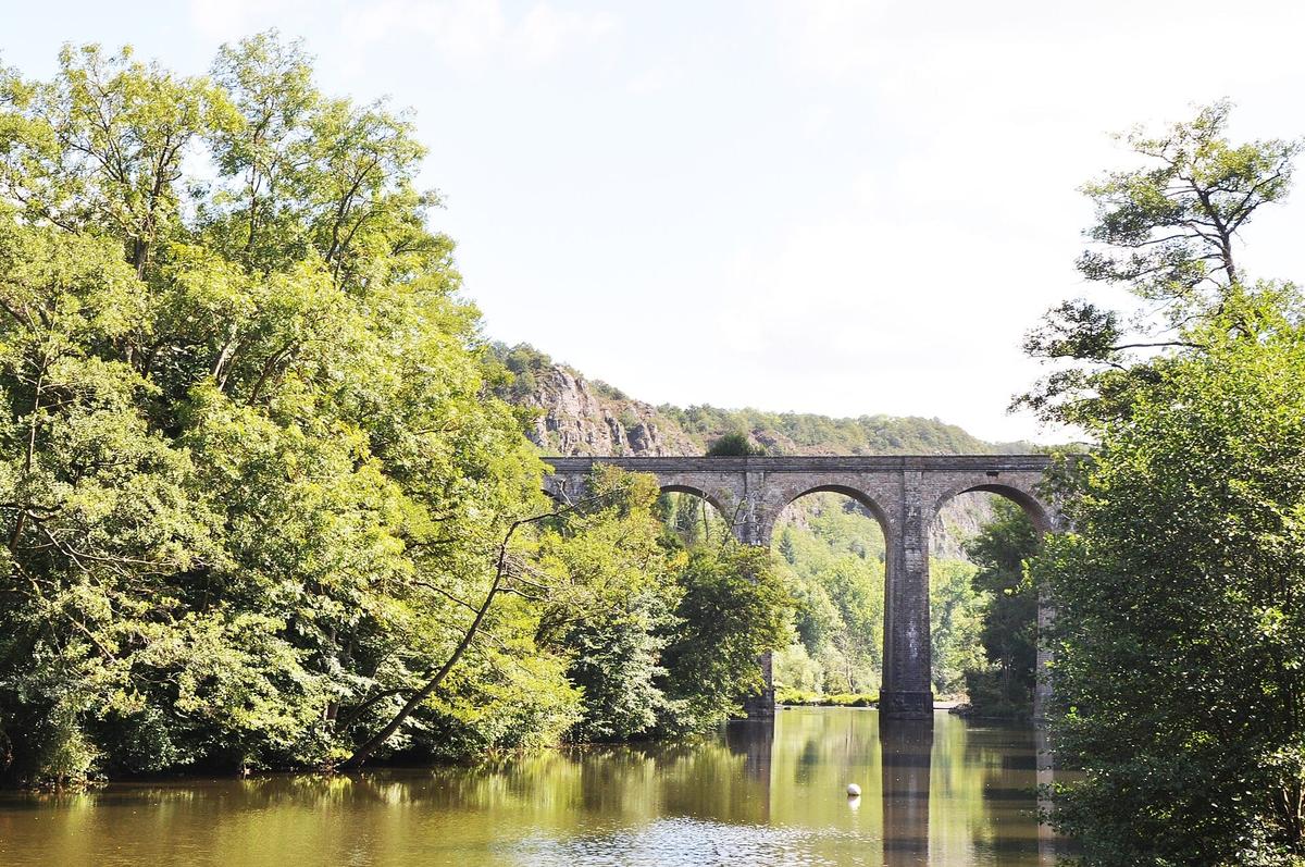

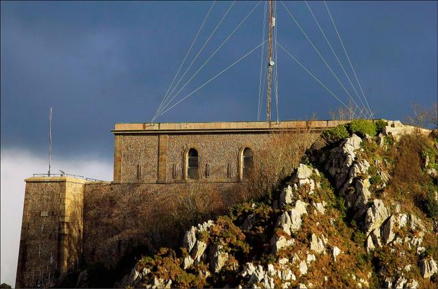
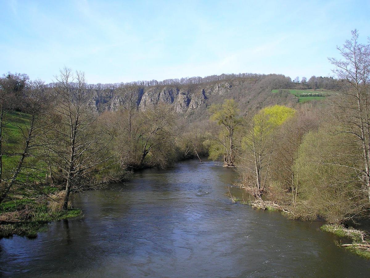
The Rochers des Parcs. This is Clécy's great cliff, facing the village across the Orne, in the commune of Le Vey. It is 90 metres high and overlooks the valley. You can follow it along the riverside paths or walk the trail along the cliff top.
The Viaduc de la Lande. This railway viaduct of 9 stone arches was completed in 1866 on the Caen-Flers line. It is 108 metres long and about thirty metres high.
The Croix de la Faverie. At 263 metres, this is the easiest viewpoint to reach from the village. The view takes in the meanders of the Orne, the viaduct and the Rochers des Parcs. A 3 km loop leads up to it.
L'Éminence. At 253 metres, it offers a wide panorama over the valley. It is a protected natural area of Calvados (Espace naturel sensible) and the start of the Hauts Vents loop.
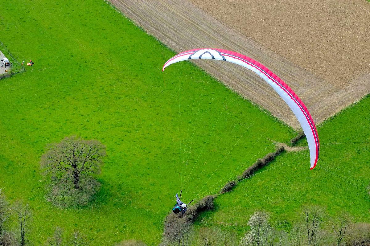
The Pain de Sucre. This rock, in the commune of Saint-Omer, rises above the Rochers de la Houle and the Orne. It is one of the highest points of the Suisse Normande and one of the take-off sites for paragliders. The 19.5 km Pain de Sucre mountain-bike route from Clécy climbs to the heights of Saint-Omer and its heather before heading back down to the Rochers des Parcs.
Our tip: on a first visit, walk up to the Croix de la Faverie in the morning, then go down to the riverbank to see the Rochers des Parcs and the viaduct from below.
Hiking, climbing, canoeing: what to do in the Suisse Normande

Hiking. The area has more than 600 km of waymarked trails, including the GR 36 and the GR de Pays Tour de la Suisse Normande.
Climbing. The Rochers des Parcs have more than 120 natural routes, for all levels, open from age 8. The site often hosts national federation competitions. Without experience, go with an instructor such as Le Camp de Base, based in Clécy.
Via ferrata. A protected route hangs above the Orne, with views over the valley.
Canoeing and kayaking. You can hire on site for an hour or two, or paddle down the Orne from Thury-Harcourt, Clécy or Pont-d'Ouilly, on routes of 4 to 28 km. For the keenest, the river route to Caen is about 57 km. In Clécy, the tourist office lists Clécy Évasion and the Beau Rivage complex, plus pedalos at Au Fil de l'Eau.
Paragliding. Two clubs fly at Clécy, Parapentemania and Parapente Clécy, with tandem first flights.
Golf. The Clécy-Cantelou golf course has 18 holes.
Trails, river and safety

A few simple rules:
- Stay on the waymarked paths on top of the Rochers des Parcs and the Pain de Sucre. Not all edges are protected.
- Do not climb without equipment or training. The climbing guide shows the sectors and routes: ask the tourist office or an instructor.
- On the Orne, follow the hire company's instructions. Water levels and currents change with the season and the rain.
- In wet weather, earth and rock paths become slippery. Walking shoes are essential.
Clécy with children
- The Croix de la Faverie is a first hike within their reach, 3 km with a real reward at the top.
- Canoeing on a short route or hourly hire goes down well. Ask the provider about the minimum age and whether children must be able to swim.
- Climbing is open from age 8 at the Rochers des Parcs, with an instructor.
- The greenway to Thury-Harcourt is flat, and Normandy Tourism describes it as safe and family-friendly: ideal for a first bike ride.
Clécy in a wheelchair
The natural sites of the Suisse Normande are mostly reached by sloping paths with roots and stones: the top of the Rochers des Parcs, the Pain de Sucre and the Croix de la Faverie are not suitable for a wheelchair. The official sources do not give accessibility details for the village, the museums or the riverbanks.
The greenway to Thury-Harcourt is the flattest option. The paragliding clubs offer flights adapted for people with reduced mobility.
Our tip: call the tourist office on +33 2 31 79 70 45 before you come to find out about accessible parking and which stretches are usable.
Are dogs allowed in Clécy?
The streets, riverbanks and most trails are public spaces: your dog can come with you, on a lead. Keep it on the lead, especially on the cliff tops and in the protected natural areas. For museums, restaurants and activities such as canoeing, each provider sets its own rule: ask first.
Guided tours and day trips
The tourist office offers self-guided visits: the "Clécy et son histoire" leaflet and a downloadable audio trail of 9 stops, part of the "Et si on parlait de…" series. Supervised outings (climbing, canoeing, trail running) are booked with the providers listed by the tourist office.
Organised tours rarely go as far as the Suisse Normande: most leave from Caen for the D-Day beaches. If you are staying in Caen, a beaches tour combines well with a day by car in Clécy. See also: D-Day beaches
What to visit near Clécy on the same day
| Also worth seeing | Distance | Travel time |
|---|---|---|
| Falaise Castle (William the Conqueror's Castle) | 27 km | 30 min by car |
| Falaise Memorial, Civilians in War | 27 km | 30 min by car |
| Caen Castle (Château de Caen) | 37 km | 40 min by car |
Approximate road distances and travel times.
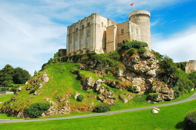
Falaise and William the Conqueror's castle. Half an hour to the east, William's birthplace has its fortress on a rocky spur. See also: Falaise Castle (William the Conqueror's Castle)
The Memorial of Civilians in War. In the centre of Falaise, a few minutes from the castle, it tells how civilians lived through the Battle of Normandy. Both fit into one afternoon. See also: Falaise Memorial, Civilians in War
Caen. About forty minutes north, the ducal castle and the Caen Memorial round off a day in the Suisse Normande. See also: Caen Castle (Château de Caen), Caen Memorial
Pont-d'Ouilly and the Roche d'Oëtre. Heading up the Orne to the south, Pont-d'Ouilly has its riverside guinguette, and the Roche d'Oëtre, in the Orne département, looks over the Rouvre gorges.
Thury-Harcourt. At the end of the greenway, with the Boucle du Hom, a meander of the Orne seen from above.
Clécy in 8 dates
- 860: first mention of Clécy, as Cliciacus, in a deed of Charles the Bald.
- 12th century: a group of 12 to 15 houses forms the origin of the village.
- 15th century: the bell tower of St Peter's Church is built.
- 1632: Clécy becomes a market town when its market is established.
- 1855: the nave and transept of the church are enlarged.
- 1866: the Viaduc de la Lande is completed on the Caen-Flers line, and the presbytery is built.
- 1932: Clécy is given the title "Capital of the Suisse Normande".
- 1978: the town hall moves into the former presbytery.
Stories. The Manoir du Poncel was built in the 16th century by the Corday family, whose descendant Charlotte Corday assassinated Marat in 1793. The village was spared from bombing in the Second World War, according to Normandy Tourism. Georges-Jules Moteley's painting Vieux Lavoir à Clécy (1892) was bought by the city of Caen. Paul-Émile Pissarro, son of Camille, lived at Pont de Cantepie, and a village street bears his name.
Where to eat and stay in Clécy
For meals, the tourist office keeps a list of the valley's restaurants in its "Dormir & manger" section. Out of season, many places open fewer days: call ahead. On summer Sunday mornings, the market on the square is the place to put together a picnic of local produce, which you can also buy from farms, small shops and the tourist office. At Pont-d'Ouilly, the riverside guinguette is lively in fine weather.
For accommodation, the tourist office lists places to stay across the valley. In Clécy, Le Camp de Base runs a refuge linked to its outdoor activities. Choice is limited in July and August: book early. Caen and Falaise have more hotels, thirty to forty-five minutes away by car. See also: Normandy in 3 days
FAQ
Is there a charge to visit the Rochers des Parcs?
No. The Rochers des Parcs, the Croix de la Faverie, the Pain de Sucre and the village are free to access, with no ticket. Only supervised activities and the museums charge a fee.
Where can I park in Clécy?
On Place du Tripot, parking is limited to 30 minutes on the Rue de la Poste side. For the Orne riverbanks, take Rue Ermington. In summer, Rue des Guinguettes may become one-way.
How long does it take to visit Clécy?
1 hour for the village, half a day with a walk, a full day with canoeing or climbing.
Can I go climbing in Clécy without experience?
Yes, with an instructor. The Rochers des Parcs have more than 120 routes, open from age 8. Le Camp de Base, in Clécy, offers supervised sessions.
Where can I hire a canoe in Clécy?
In Clécy itself, from Clécy Évasion or at the Beau Rivage complex, according to the tourist office. Trips down the Orne range from 4 to 28 km.
Can I get to Clécy without a car?
Yes. Bus line 117 runs between Caen and Flers via Clécy. Check the timetable before you go.
Practical information
Official ticket-office prices 2026
Free admission
Address
Bureau d'information touristique, place du Tripot, 14570 Clécy, France
Directions · Phone+33 2 31 79 70 45
On site and nearby
- Nearest shops and pharmacy: Clécy, less than 1 km away Straight-line distance, based on OpenStreetMap.
- Emergencies: 112 (all emergencies, free from any phone), 15 (SAMU, medical emergency)
Around the site, on Google Maps
With children
Family days out nearby: Falaise Memorial, Civilians in War (21 km), Château de Vendeuvre (30 km), Festyland (30 km)
Swimming pools and play areas nearby, on Google Maps
Facts checked on 4 November 2026. Sources: suisse-normande-tourisme.com, suisse-normande-tourisme.com, suisse-normande-tourisme.com, en.normandie-tourisme.fr, suisse-normande-tourisme.com, fr.wikipedia.org, en.wikipedia.org, fr.wikipedia.org, cdt14.media.tourinsoft.eu, suisse-normande-tourisme.com, suisse-normande-tourisme.com, suisse-normande-tourisme.com, suisse-normande-tourisme.com
Map
In the same region