Saint-Malo ramparts: planning your walk
Saint-Malo Ramparts at a glance
- Admission
- Free
- Where
- Saint-Malo
Facts checked on 29 October 2026. Full opening hours, reduced prices and access
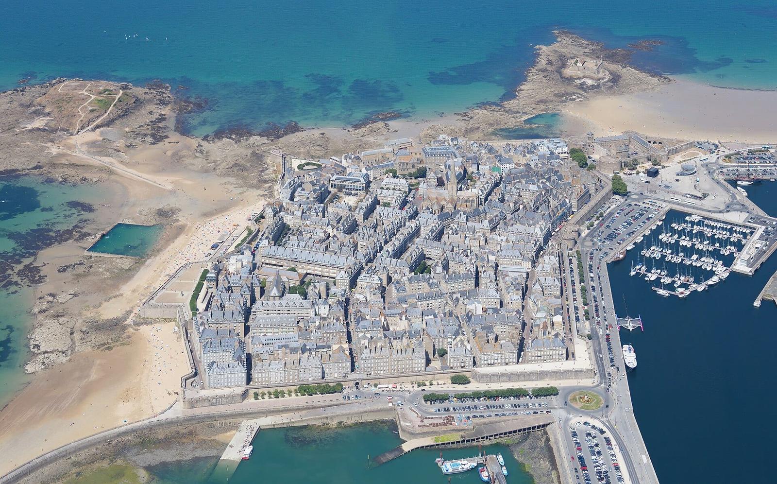
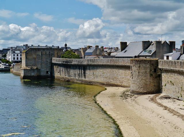
Walking the ramparts is the simplest thing to do in Saint-Malo, and the most beautiful: a free wall walk open to the sea, all the way round the old walled town. At low tide you can carry on on foot to the Grand Bé, where Chateaubriand is buried, and to Fort National. Here is what you need to know: where to go up, when to come, how to read the tides and what to see inside the walls.
Saint-Malo ramparts at a glance
- Where: all the way round Saint-Malo intra-muros, the old walled town, between the English Channel and the Rance estuary.
- Price: the ramparts walk (1754 metres) is free, with no ticket.
- Open: the wall walk is open to everyone, with no visiting hours.
- At low tide: the Grand Bé islet (Chateaubriand's grave) and Fort National can be reached on foot from the beaches.
- Fort National: paid visit, €5 per adult, only when the flag is flying.
- Best for: everyone, children included, as long as you keep an eye on the little ones on the walls.
History of the Saint-Malo ramparts
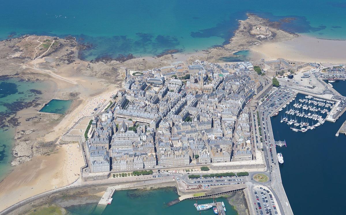
Saint-Malo was built on a rock surrounded by the sea. The ramparts protected the town from attacks from the sea, but at first also from the power of the Dukes of Brittany. The castle, at the entrance to the town, was built by the dukes to keep the people of Saint-Malo in check. The townspeople seized it in 1590.
The walls were built and altered over several centuries. The tourist office gives the dates of the main works:
- the Great Keep of the castle, in 1424;
- the Tour de la Générale, in 1475;
- the Tour Quic-en-Groigne, in 1498;
- the Tour des Moulins, in 1500;
- the Bastion Saint-Philippe, in 1714;
- the Bastion Saint-Louis, from 1714 to 1721.
In the 18th century the walled town was enlarged to 24 hectares. The forts built on the islets offshore made the town impossible to take from the sea.
In 1944 the fighting of the Liberation destroyed 80% of the walled town. Saint-Malo was rebuilt after the war using the stones that had been kept, so that it looked like the town before. That is why the granite houses look old when many of them date from the 1950s.
Is the Saint-Malo ramparts walk free?
Yes, completely. The wall walk is a public space: you go up whenever you like, with no ticket and no booking. It is one of the few major sights in Brittany that costs nothing at all.
What you pay for around the ramparts:
- Fort National: €5 per adult and €3 per child, according to the tourist office. It can only be visited at low tide.
- Guided tours run by the tourist office and private guides, which tell the story of the privateers and the rebuilding of the town.
The Grand Bé is free to visit.
How long does it take to walk the Saint-Malo ramparts?
The wall walk is 1754 metres long. The full loop is an easy walk. How long it takes depends mostly on your stops: each bastion has a different view, and you will stop often.
Allow extra time if you want to:
- go down into the walled town for Saint-Vincent Cathedral and the streets;
- cross to the Grand Bé at low tide;
- visit Fort National, when it is open.
To combine the ramparts, the Grand Bé and the walled town, allow half a day. A full day lets you add Fort National and the beach.
Our tip: walk the ramparts at the end of the day. The evening light on the sea and the islets is lovely, and there are fewer people than in the middle of the day.
When to go and how to read the tides
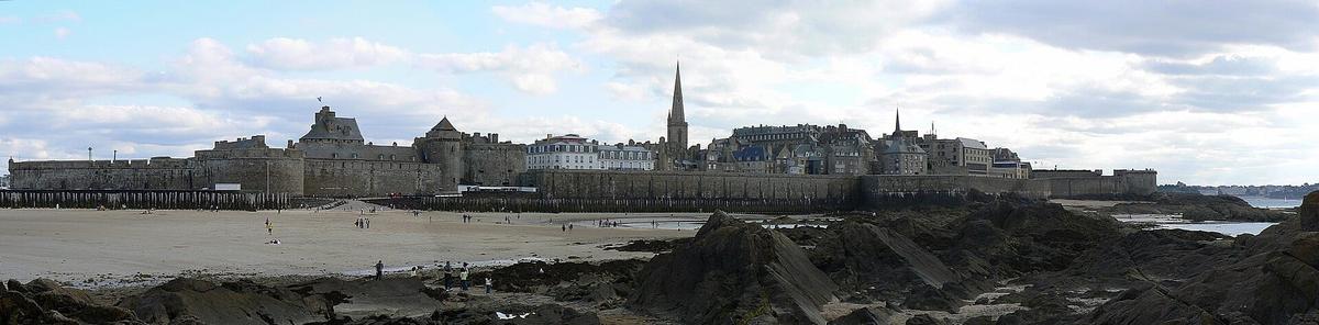
You can walk the ramparts all year round, at any time of day. The tides make no difference to the walk itself, but they decide everything else: the bay of Saint-Malo has some of the biggest tides in Europe, and the view changes completely between high and low tide.
- At low tide, beaches appear at the foot of the walls, and you can walk out to the Grand Bé and Fort National.
- At high tide, especially during big spring tides, the sea crashes against the walls. Watch the show from the top of the ramparts, never from the sea wall.
Before you set off, check the day's tide times. For the Grand Bé and Fort National, leave no earlier than just after high tide and come back well before the tide turns: the sea comes in fast and cuts off the path. Follow the signs and instructions posted on the beach.
In summer, the walled town is very busy in the afternoon. Early morning and evening are the best times. Out of season, the ramparts are quiet, and the big tides of autumn and spring are worth the trip.
How to get to the Saint-Malo ramparts
By train. Saint-Malo station has trains to Rennes and Paris. From the station, you can reach the walled town on foot or by bus. Once inside the walls, the tourist office is on Esplanade Saint-Vincent, just in front of the main gate.
By ferry from the UK. Brittany Ferries sails from Portsmouth to Saint-Malo. The ferry port is close to the walled town, so you can start the ramparts walk soon after landing.
By car. In summer, parking near the walled town takes patience: come early in the morning. Once parked, you do everything on foot.
Where to go up onto the ramparts. You reach the wall walk near the town gates: Porte Saint-Vincent, Grand'Porte, Porte de Dinan, Porte Saint-Louis, Porte Saint-Thomas, Porte Saint-Pierre, Porte des Champs and Porte des Bés. The easiest is to go up near Porte Saint-Vincent, coming from the station or the car parks.
Renting a car. You do not need a car to see Saint-Malo, but one is useful for Mont-Saint-Michel, Cap Fréhel or Fougères. Rennes TGV station is the most convenient place to pick one up.
Partner links: if you book through these links, we earn a commission at no extra cost to you. Partner links · Learn more
What to see on the ramparts and in the walled town
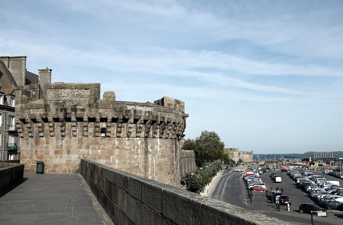
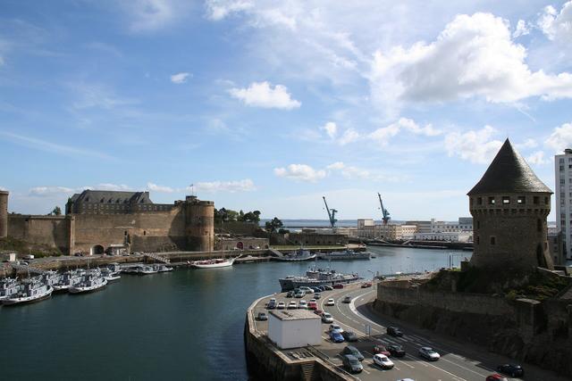
Porte Saint-Vincent and the castle. This is the main entrance to the walled town. The castle, with its Great Keep and the Tour Quic-en-Groigne, closes off the town on the land side.
The bastions facing the sea. Following the wall walk west, the Saint-Louis and Saint-Philippe bastions look down on Bon-Secours beach and its tidal pool, and out to the Grand Bé and Petit Bé islets.
The statue of Surcouf. The privateer Robert Surcouf (1773-1827) has his statue on the walls. His fame came a few decades after that of Duguay-Trouin, who captured Rio de Janeiro in 1711.
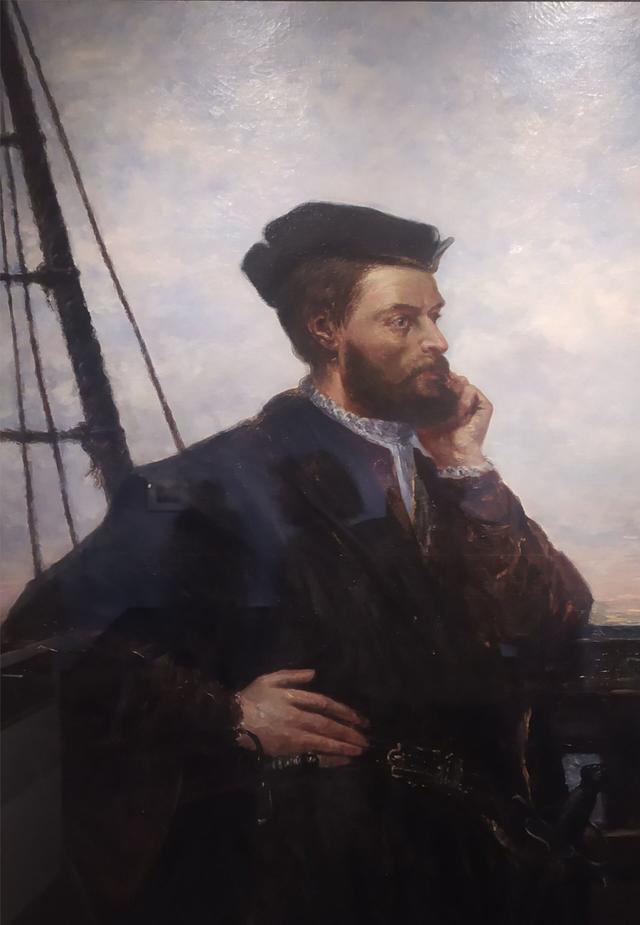
The statue of Jacques Cartier. The Saint-Malo navigator (1491-1557), sent by Francis I, explored the St. Lawrence estuary and claimed Canada for the French king.
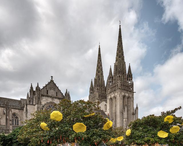
Saint-Vincent Cathedral. In the heart of the walled town, it mixes parts built between the 11th and 18th centuries.
The shipowners' mansions. The Hôtel André Désilles (17th century) and the Hôtel Magon de la Lande (18th century) are reminders of the wealth of Saint-Malo's shipowners.
A future museum. A maritime museum is planned inside the walls, announced for around 2028.
The Grand Bé and Chateaubriand's grave
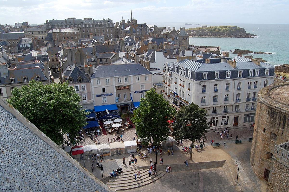
The Grand Bé islet lies at the mouth of the Rance, a few hundred metres from the ramparts. At low tide you can walk there from Bon-Secours beach.
François-René de Chateaubriand (1768-1848), the writer born in Saint-Malo, is buried there in a grave facing the sea. The islet also has the remains of an old fort.
Access is free. The real trap is the time to come back: the sea covers the path as the tide rises. Check the tide time before you go and do not linger.
Fort National
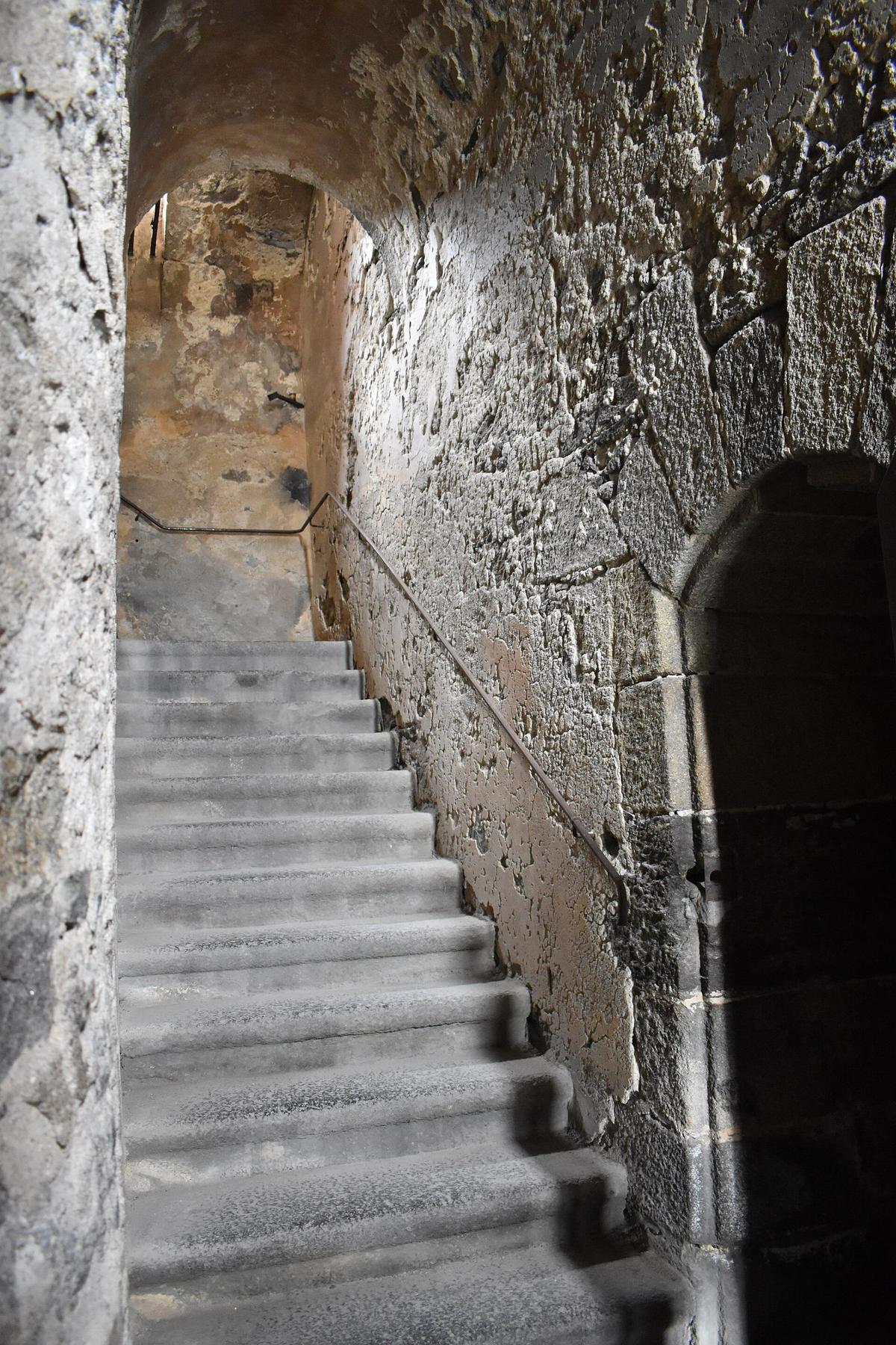
Fort National stands on an islet opposite Sillon beach. With the other island forts, it made any attack on the town from the sea impossible.
You can only get there at low tide, and only when the flag is flying. For 2026 the tourist office announces opening from 17 August 2026 to 20 September 2026, with times that depend on the tides. Prices: €5 per adult, €3 per child. Payment is by cash, French cheque or chèques vacances, so bring euros in cash. Pets are allowed. Call before you come on +33 2 99 85 34 33.
Guided tours and day trips
You can easily walk the ramparts on your own. A guided tour adds what the walls do not tell you: the lives of the privateers and shipowners, the siege of 1944, the rebuilding. The tourist office and several guides offer tours of the walled town.
Saint-Malo is also a good base for day trips to Mont-Saint-Michel or the Emerald Coast.
Saint-Malo ramparts with kids
Children love the ramparts: you walk high up, you see the sea, the boats and the islets, and walking across to the Grand Bé at low tide feels like an adventure. Bon-Secours beach, at the foot of the walls, means you can finish with a swim in summer.
A few precautions:
- Hold little ones by the hand on the wall walk, high above the beaches.
- Check the tide time before any crossing to the Grand Bé or Fort National.
- Stay off the sea wall during big tides: waves can break over it.
Where to eat and stay in Saint-Malo
Inside the walls. The streets of the walled town are full of crêperies and seafood restaurants. In summer, book for dinner or eat early. For a picnic, the top of the ramparts and Bon-Secours beach are the nicest spots.
Where to stay. Staying inside the walled town means you can walk the ramparts in the evening and early in the morning, without a car. Le Sillon, facing the long beach, and Saint-Servan are quieter. Saint-Malo is also a good base for Mont-Saint-Michel and the Emerald Coast.
Places to stay near Saint-Malo
What to see nearby
| Also worth seeing | Distance | Travel time |
|---|---|---|
| Mont-Saint-Michel | 55 km | 50 min by car |
| Fort La Latte | 45 km | 50 min by car |
Approximate road distances and travel times.
Mont-Saint-Michel. This is the classic day trip from Saint-Malo. The Mont needs at least half a day: leave in the morning and come back to walk the ramparts at sunset. See also: Mont-Saint-Michel
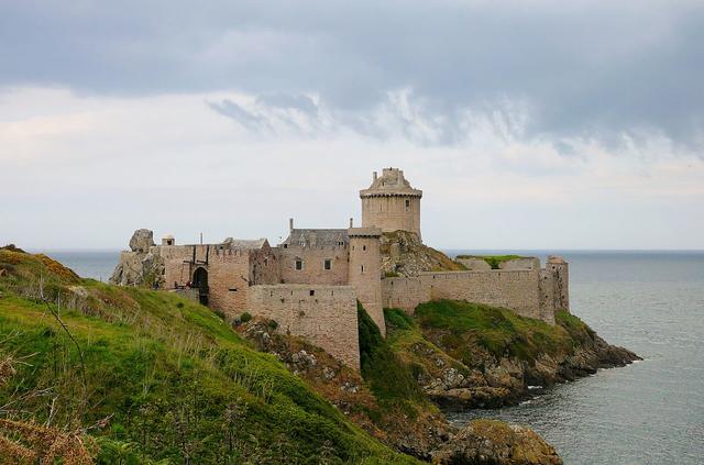
Fort La Latte and Cap Fréhel. To the west, on the other side of the Rance, the castle of La Roche Goyon looks over the sea next to Cap Fréhel. See also: Fort La Latte
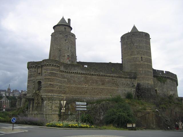
Fougères. For a different kind of fortification, Fougères Castle is a huge medieval castle east of Rennes. See also: Fougères Castle
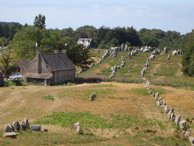
For the rest of Brittany: See also: Océanopolis Brest, Pointe du Raz, Carnac Stones, Château de Josselin, Cairn of Barnenez, Brittany
Fun facts
- A town 80% destroyed. In 1944 the fighting of the Liberation destroyed the walled town almost entirely. It was rebuilt from the stones that had been saved.
- A castle against its own people. The castle was not built to defend the people of Saint-Malo but to watch over them. They took it in 1590.
- France's favourite monument. The ramparts represented Brittany in Stéphane Bern's TV show "Le Monument préféré des Français" in 2015 and in 2021.
- Protected for a long time. The castle and ramparts have been listed historic monuments since 1886, with the protection extended in 1913 and 1921.
- Chateaubriand facing the sea. The writer lies on an islet that the high tide cuts off from the town.
FAQ
Is it free to walk the Saint-Malo ramparts?
Yes. The wall walk is free and open to everyone, with no ticket.
How long does it take to walk round the ramparts?
The wall walk is 1754 metres long and easy going; allow half a day if you want to add the Grand Bé and the walled town.
When can you walk to the Grand Bé?
Only at low tide, on foot from Bon-Secours beach. Check the tide times and come back before the tide comes in.
Can you visit Fort National?
Yes, at low tide and when the flag is flying. In 2026 the tourist office announces opening from 17 August 2026 to 20 September 2026, for €5 per adult.
Do I need to book to walk the ramparts?
No. You walk them freely, without a ticket. Only guided tours need booking.
What is the best time to walk the ramparts?
Early in the morning or late in the day, when there are fewer people, and at high tide during big tides to see the sea crash against the walls.
Practical information
Official ticket-office prices 2026
Free admission
Address
Remparts de Saint-Malo, intra-muros, 35400 Saint-Malo, France
Directions
On site and nearby
- Nearest shops and pharmacy: Saint-Malo, less than 1 km away Straight-line distance, based on OpenStreetMap.
- Emergencies: 112 (all emergencies, free from any phone), 15 (SAMU, medical emergency)
Around the site, on Google Maps
With children
Family days out nearby: Grand Aquarium Saint-Malo (4 km), Fort La Latte (19 km), Dinan Castle (22 km)
Swimming pools and play areas nearby, on Google Maps
Facts checked on 29 October 2026. Sources: saint-malo-tourisme.com, saint-malo-tourisme.com, saint-malo-tourisme.co.uk, en.wikipedia.org, fr.wikipedia.org, pop.culture.gouv.fr, figaronautisme.meteoconsult.fr
Map
In the same region