Verdon Gorge: how to plan your visit
Verdon Gorge at a glance
- Admission
- Free
- Time needed
- at least a full day, two or three days to see it all
- Visitors per year
- about 1,000,000 (2025)
- Where
- La Palud-sur-Verdon
Facts checked on 11 November 2026. Full opening hours, reduced prices and access
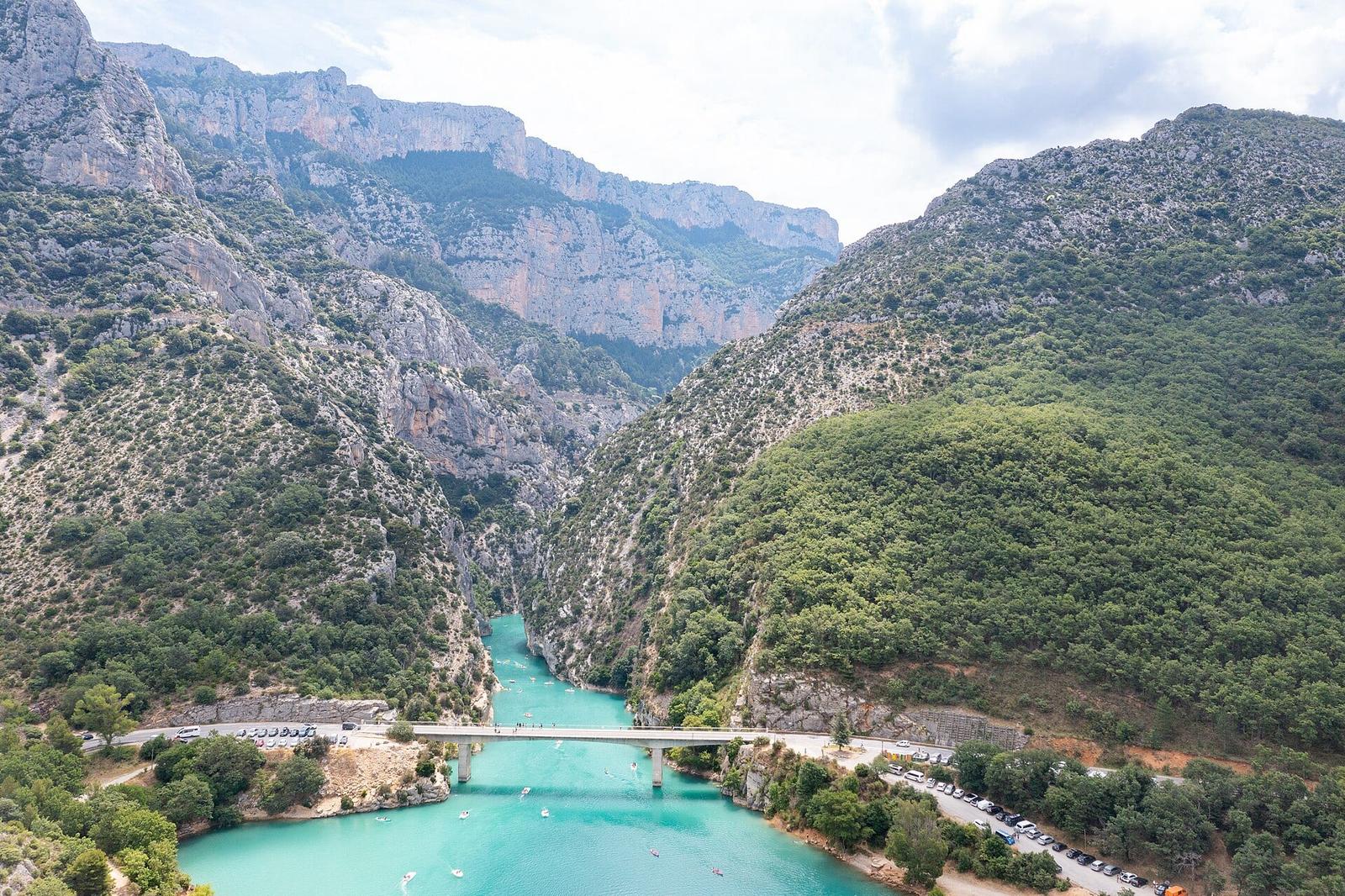
Twenty-five kilometres of canyon, cliffs up to 700 metres high and a turquoise river: the Verdon Gorge is the largest canyon in France. You can see it by car along the Route des Crêtes, on foot along the Blanc-Martel trail or by boat from Lake Sainte-Croix. Here is what is free, what you pay for, the seasonal closures and our tips for planning your days.
Verdon Gorge at a glance
- Where: between the Alpes-de-Haute-Provence and the Var, from Castellane to Lake Sainte-Croix, with Moustiers-Sainte-Marie and La Palud-sur-Verdon as gateways.
- Price: the gorge, the viewpoints and the trails are free. You pay for the Blanc-Martel trail shuttle (€8.50 return) and for boat hire (from €10 an hour for a kayak, €50 for an electric boat).
- Season: you can visit all year, but the central part of the Route des Crêtes is closed from 22 November 2026 to 26 March 2027.
- Time needed: at least a full day, two or three days to see it all.
- Best for: hikers, families who want to swim and paddle, and anyone who enjoys scenic drives.
- Good to know: the Blanc-Martel trail is rated very difficult and dogs are not allowed on it.
Why visit the Verdon Gorge
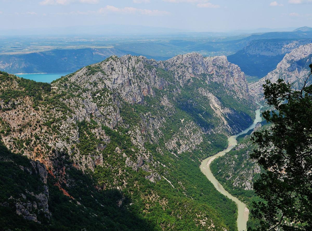
The Verdon is a 175 km river that flows down from the Alps to the Durance. Between Castellane and Lake Sainte-Croix, it has cut a canyon about 25 km long into the limestone. The cliffs reach 700 m in height. At the bottom, the riverbed is sometimes only 6 m wide, while the rims are up to 1500 m apart. The river owes its name to the green-turquoise colour of its water.
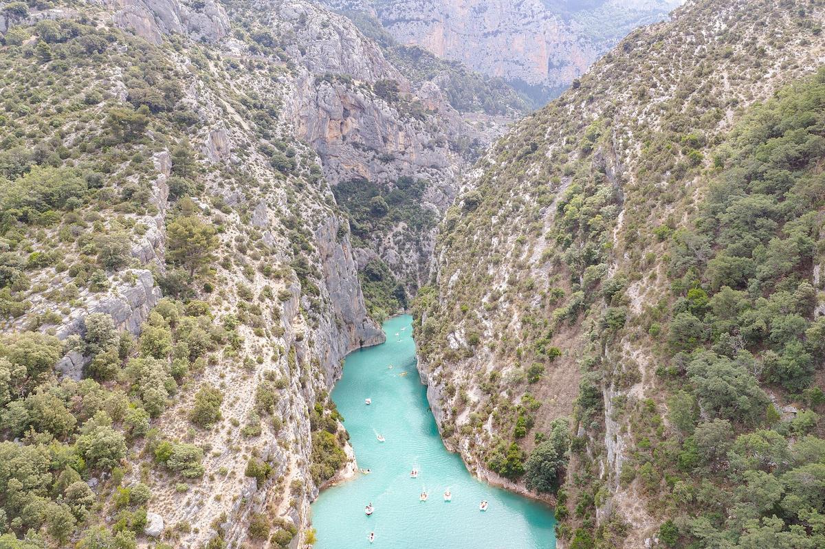
The gorge receives nearly a million visitors a year, according to the Grand Site de France agreement signed in 2025. The crowds gather at a handful of spots: the Point Sublime, the Route des Crêtes, the Galetas bridge and the lake beaches.
Explored late. The canyon remained almost unknown until the early 20th century. In August 1905, the caver Édouard-Alfred Martel, then working for an electricity company studying a dam project, went down the gorge with a small team. Isidore Blanc, the schoolteacher from Rougon, was one of them. On 11 August they reached the Galetas pass: the first complete crossing of the canyon. The trail that bears both their names was laid out in 1928.
A landscape shaped by water. 5 dams were built on the Verdon between 1929 and 1975. The largest created Lake Sainte-Croix, filled in 1974. To fill it, the village of Les Salles-sur-Verdon had to be destroyed and rebuilt higher up the bank. Today it calls itself the youngest village in France.
A story worth knowing. In 2006, France's highest administrative court cancelled EDF's plan to run a very high voltage power line over the gorge, after more than twenty years of campaigning by conservation groups.
Is the Verdon Gorge free to visit?
For the most part, yes. There is no entry ticket: the roads, the viewpoints, the Blanc-Martel trail and the lake beaches are all free. What you pay for are the services around the site:
- The Blanc-Martel trail shuttle: €8.50 return per adult, €5.50 for children under 12, €4.50 one way.
- Boat, canoe and kayak hire on Lake Sainte-Croix (see below).
- Parking, at some car parks near the busiest spots. We could not find an up-to-date official price list.
Electric boat, pedalo and canoe hire: 2026 prices
This is the most popular summer activity. At the Galetas bridge, the Verdon leaves the canyon and flows into the lake. You hire a boat on the shore, then paddle or motor a few hundred metres up between the cliffs.
Prices at the L'Étoile water sports centre (route des Salles, on the Moustiers side), as published by the Moustiers tourist office:
- Electric boat (5 people): €50 for one hour, €100 for two hours.
- Pedalo: €20 for one hour, €40 for two hours.
- Canoe (2 or 3 people): €20 for one hour, €40 for two hours.
- Single kayak: €10 for one hour, €20 for two hours.
- Double kayak: €20 for one hour, €40 for two hours.
Life jackets are provided. The centre's 2026 hours, first departure to last return: 8:30 – 19:00 from 13 June 2026 to 31 August 2026, 9:30 – 18:30 in May, early June and September, 10:00 – 18:00 in April and 10:00 – 17:00 in March, October and November.
Other hire companies. La Cadeno leisure centre, also on the Moustiers side, listed similar prices in 2025: €20 an hour for a pedalo or a canoe, €10 for a single kayak. It only opened from mid-June to the end of September. On the Var shore, at Bauduen, other companies rent electric boats for up to ten people, with prices that vary by season.
Rules to know:
- Petrol engines are banned on Lake Sainte-Croix: only electric boats, pedalos and paddle craft are allowed.
- Swimming and mooring are not allowed inside the gorge.
- Stand-up paddleboards are not allowed in the gorge.
- In strong wind, a prefectoral order closes the gorge to boats. Mornings are usually calmer.
Our tip: in July and August, be there for the first departure. By midday, the queue for boats and the traffic jam of craft at the mouth of the canyon spoil the experience. Out of season, the gorge is almost empty.
Booking online. Tiqets sells a three-hour canoe rental in the lower Verdon gorges, from Esparron-de-Verdon, further downstream. This stretch is quieter than the Galetas. The offer is seasonal.
Partner links: if you book through these links, we earn a commission at no extra cost to you. Partner links · Learn more
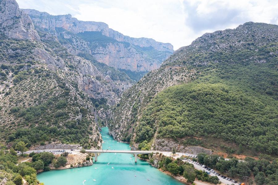
Route des Crêtes: viewpoints and winter closure
This is the easiest way to see the Grand Canyon du Verdon from above. The loop is 24 km long from La Palud-sur-Verdon, on the D23, with 14 viewpoints, including La Carelle, L'Escalès, the Dent d'Aire, Les Guègues, Trescaïre and the Pas de Baou. Without stopping, it takes 45 minutes; with the viewpoints, allow one and a half to three hours.
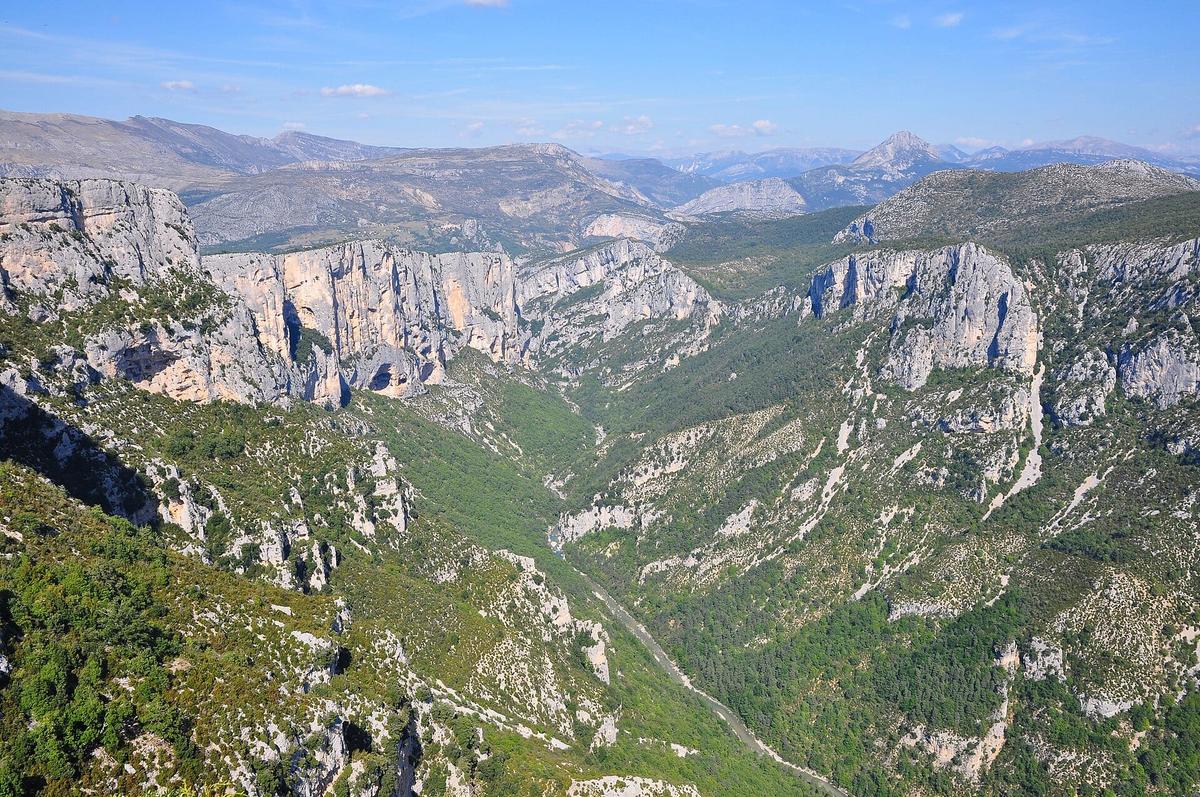
Between the Jas d'Aire and the Chalet de la Maline, the road is one way: drive the loop clockwise, as the signs show.
Winter closure. The central section, between the Pas de Baou and the Chalet de la Maline, is closed from 22 November 2026 to 26 March 2027. The rest of the road stays open. In November, come before the closure if you want to drive the full loop.
What you will see. Griffon vultures often circle above the canyon. At the Escalès viewpoint, look at the cliff faces: you will often spot climbers. The gorge has more than 1500 climbing routes.
Blanc-Martel trail: length, difficulty and shuttle
This is the most famous hike in the gorge, on the GR4 long-distance path. It goes down to the bottom of the canyon between the Chalet de la Maline and the Point Sublime.
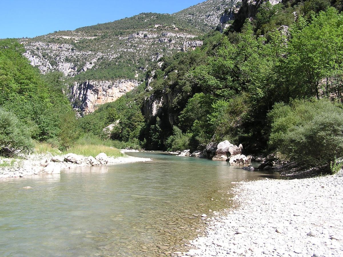
- Distance: 16 km, one way.
- Time: about 5.5 hours of walking.
- Elevation gain: 500 m of ascent.
- Level: very difficult, not advised for children under 8.
The route has ladders, scree and slippery rocks. At the Brèche Imbert, a staircase of 252 steps goes down the cliff: if you suffer from vertigo, walk the trail in the other direction or give it a miss. At the end, the Baou tunnel is 670 m long. It is pitch dark and often flooded: a head torch is essential.
The tourist office recommends 3 litres of water per person, hiking boots, food and a warm layer. Dogs and mountain bikes are not allowed. The river level can rise quickly when water is released from the dams upstream: move away from the banks if the water rises.
The shuttle. As the trail is not a loop, a shuttle links La Palud-sur-Verdon to both ends. In the morning it takes hikers to the Chalet de la Maline; in the afternoon it picks them up at the Point Sublime and brings them back to La Palud. It does not go back to the Chalet de la Maline in the afternoon, so park in La Palud. In 2026 it ran daily from 30 June 2026 to 14 September 2026, and at weekends and on public holidays from 4 April 2026 to 2 November 2026. Book online on the Verdon Regional Nature Park website; tickets cannot be cancelled or changed, and animals are not allowed on board.
Moustiers-Sainte-Marie and Lake Sainte-Croix
Moustiers-Sainte-Marie, listed among the Most Beautiful Villages of France, clings to a cliff on the west side of the gorge. The village is known for its faience pottery and for the star hanging from a chain between two cliffs, above the rooftops. A stepped path climbs to the Notre-Dame-de-Beauvoir chapel, with views over the village and the plain.
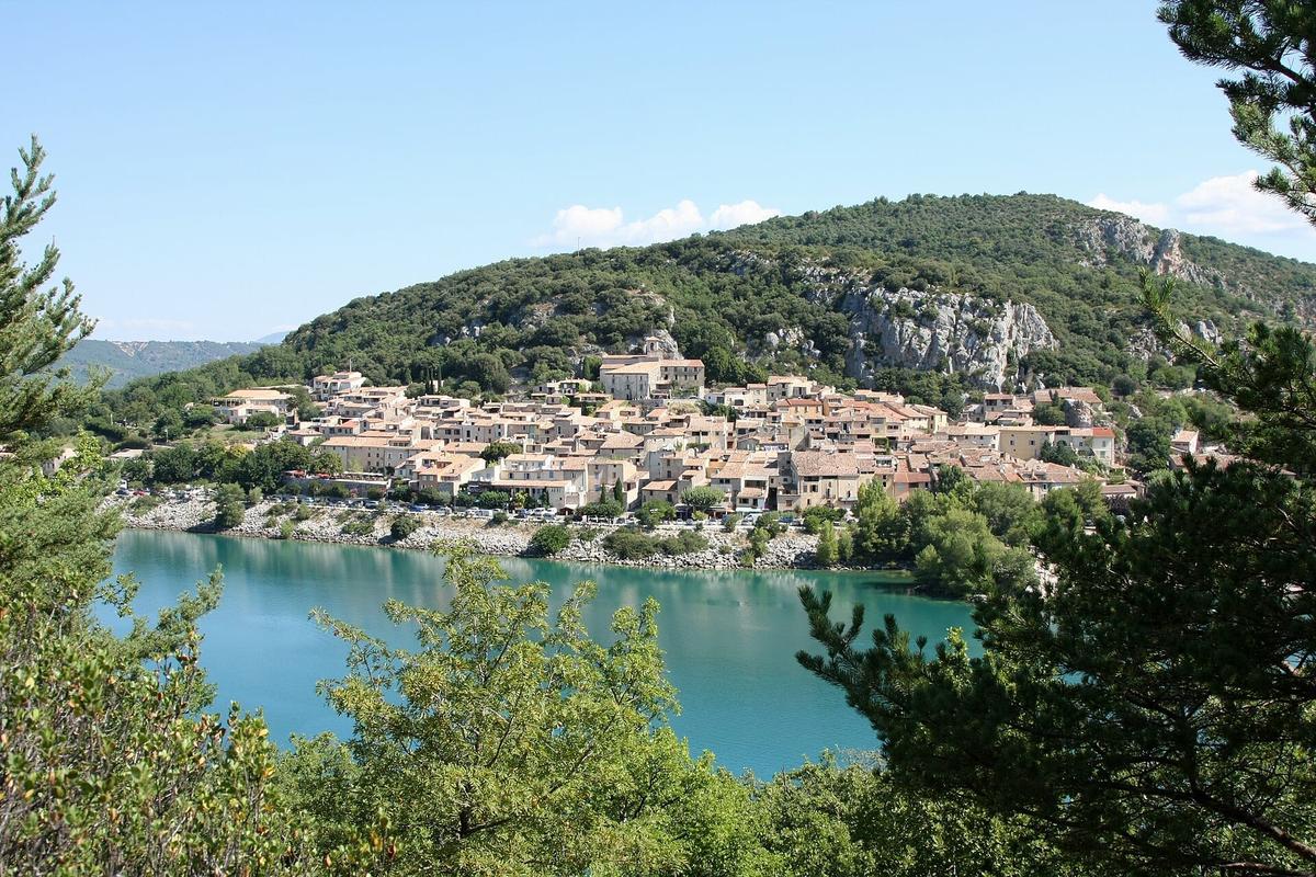
Below, Lake Sainte-Croix covers 2200 hectares. It is the largest lake in the Verdon Regional Nature Park and one of the largest reservoirs in France. The drive around the lake is about 60 km and takes an hour. The nearest beaches are about an hour and a quarter on foot from Moustiers. The villages of Bauduen, Sainte-Croix-du-Verdon and Les Salles-sur-Verdon each have their own beaches and hire companies.
The south rim and the Corniche Sublime
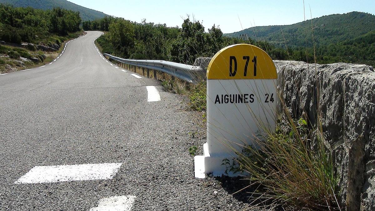
The south rim, on the Var side, is followed by the Corniche Sublime (D71) between Aiguines and Trigance. In spring 2026, it was closed for several months after a rockfall while the cliff was made safe. It has since reopened, but the Col d'Illoire trail, which lies in the rockfall zone, was closed in both directions from 14 April 2026. Check with the tourist office before planning a hike on this side.
How much time do you need?
One day is enough to see the highlights, as long as you make choices:
- In one day: Moustiers in the morning, an hour on the water at the Galetas, then the Route des Crêtes in the afternoon from La Palud, with a stop at the Point Sublime.
- In two days: add the Corniche Sublime and the south rim, or half a day on a beach by the lake.
- In three days: keep a full day for the Blanc-Martel trail with the shuttle.
Distances look short on the map, but the roads are narrow and winding. Do not count on averaging more than 40 km/h (25 mph).
Best time to visit
July and August are the months for swimming and boats, but also for traffic jams on the D952, car parks full by mid-morning and heat on the trails. Set off early.
May, June and September are the best months: the shuttle runs, the hire companies are open, the water is cool and the crowds are smaller.
In winter, the gorge is quiet and the light is beautiful, but the central part of the Route des Crêtes is closed, the shuttle does not run and most hire companies are shut.
Visiting the Verdon Gorge with kids
The gorge suits families very well, as long as you pick the right activities:
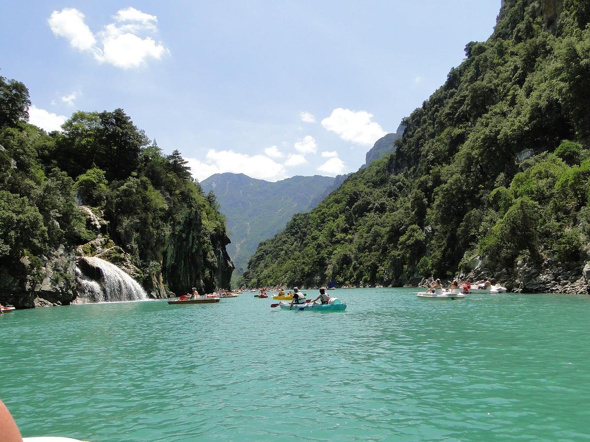
- A pedalo or canoe at the Galetas bridge appeals to all ages. Life jackets are provided.
- The beaches of Lake Sainte-Croix are the easiest option for a relaxing day.
- The Route des Crêtes is done by car with short stops at the viewpoints. Hold young children by the hand at the edge.
- The Blanc-Martel trail is not advised for children under 8, and only for children used to long hikes.
How to get to the Verdon Gorge
By car. This is by far the most practical option. The north rim is followed by the D952, from Castellane to Moustiers-Sainte-Marie, via the Point Sublime and La Palud-sur-Verdon. The south rim is done on the D71, D90 and D955, between Aiguines and Castellane. Allow about two hours from Marseille or Aix-en-Provence to Moustiers, a little more from Nice.
By public transport. It is difficult. A regional coach line links Riez to Castellane via La Palud, and the Blanc-Martel shuttle connects with it at certain times of year. Without a car, it is almost impossible to see several sites in one day.
Renting a car. Marseille's railway station and airport are the most convenient arrival points for the Verdon and the Luberon. Most rental cars in France have a manual gearbox: if you need an automatic, book it early.
What to combine with the Verdon Gorge
| Also worth seeing | Distance | Travel time |
|---|---|---|
| Salagon Priory | 60 km | 60 min by car |
Approximate road distances and travel times.
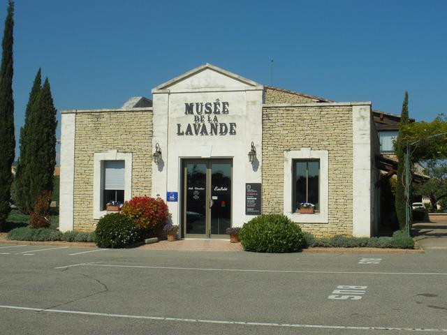
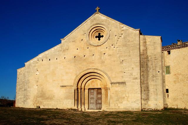
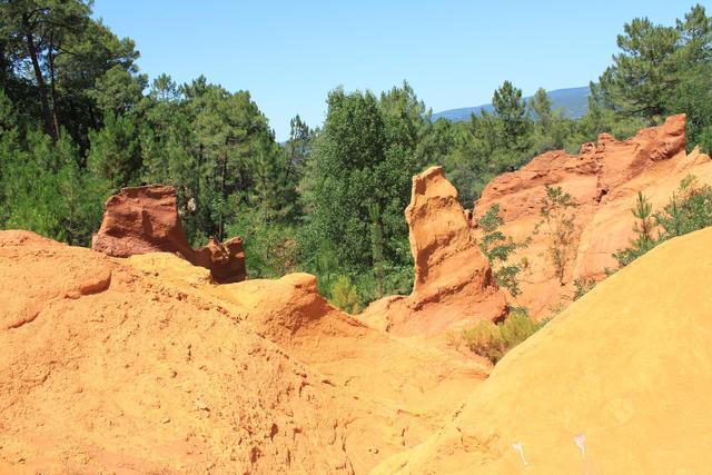
An hour's drive to the west, the Salagon priory, near Forcalquier, has ethnobotanical gardens and a Romanesque church. See also: Salagon Priory If you carry on to the Luberon, the Ochre Trail in Roussillon, Sénanque Abbey and Fontaine-de-Vaucluse are about two hours away. See also: Ochre Trail (Sentier des Ocres), Sénanque Abbey, Fontaine-de-Vaucluse, Lavender Museum (Musée de la Lavande), Provence
Where to eat and stay
Moustiers-Sainte-Marie has the widest choice of restaurants and places to stay, but also the highest prices in summer. La Palud-sur-Verdon is the best base for the Route des Crêtes and the Blanc-Martel trail. Castellane, to the east, suits you if you are coming from the Côte d'Azur. The lakeside villages (Sainte-Croix-du-Verdon, Bauduen, Les Salles-sur-Verdon) have campsites and holiday rentals for a stay by the water. In summer, book several weeks ahead.
Places to stay near Moustiers-Sainte-Marie
FAQ
Do you have to pay to visit the Verdon Gorge?
No. The roads, viewpoints, trails and beaches are free. Only the Blanc-Martel trail shuttle, boat hire and some car parks charge a fee.
How much does it cost to rent an electric boat on Lake Sainte-Croix?
At the L'Étoile centre, €50 an hour for a boat for 5 people. A pedalo or a canoe costs €20 an hour.
Is the Route des Crêtes open in winter?
Partly. The section between the Pas de Baou and the Chalet de la Maline is closed from 22 November 2026 to 26 March 2027. The rest of the road is open all year.
How long is the Blanc-Martel trail?
About 5.5 hours for 16 km. Bring a torch for the tunnels and book the shuttle to get back to La Palud.
Can you swim in the Verdon Gorge?
Not in the stretch of gorge reached by boat from the Galetas, where swimming is banned. You can swim in Lake Sainte-Croix, at the managed beaches.
Can I bring my dog?
On the Route des Crêtes and by the lake, yes. On the Blanc-Martel trail and on the shuttle, no.
Practical information
Official ticket-office prices 2026
Free admission
Address
Gorges du Verdon, 04120 La Palud-sur-Verdon, France
Directions
On site and nearby
- Nearest shops and pharmacy: Comps-sur-Artuby, 12 km away Straight-line distance, based on OpenStreetMap.
- Emergencies: 112 (all emergencies, free from any phone), 15 (SAMU, medical emergency)
Around the site, on Google Maps
With children
Family days out nearby: Chèvrerie du Bois d'Amon goat farm (42 km), International Perfume Museum (Grasse) (46 km), Fragonard Perfume Factory (historic factory, Grasse) (46 km)
Swimming pools and play areas nearby, on Google Maps
Swimming poolsPlaygroundsLeisure parks
Family activities around Moustiers-Sainte-Marie on GetYourGuide
Facts checked on 11 November 2026. Sources: verdontourisme.com, en.tourisme-alpes-haute-provence.com, navette.parcduverdon.fr, moustiers.fr, moustiers.fr, provencealpesagglo.fr, en.wikipedia.org, moustiers.fr, lacs-gorges-verdon.fr, en.tourisme-alpes-haute-provence.com
Map
In the same region
- Cosquer Cave (Cosquer Méditerranée)from €18Free under 6